Transport Functions
Port
Hub Profile
Place type
Populated place
Region
Georgia
Population
372
Time zone
America/New_York
Elevation
235 m
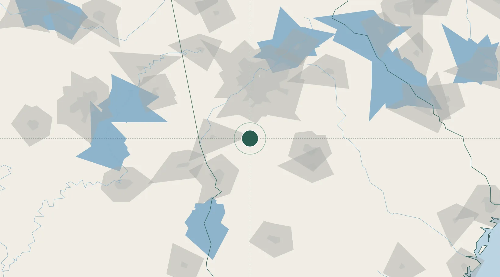
Location
Nearby Logistics Neighbours
Cities
- 1Woodbury7 km
- 2Alvaton18 km
- 3Williamson22 km
- 4The Rock26 km
- 5Milner30 km
Ports
- 1Savannah337 km
- 2Panama City339 km
- 3Darien342 km
- 4Brunswick351 km
- 5Carrabelle353 km
Airports
Trade Zones
- 1FTZ No. 026 Atlanta84 km
- 2FTZ No. 222 Montgomery184 km
- 3FTZ No. 233 Dothan217 km
- 4FTZ No. 098 Birmingham222 km
- 5FTZ No. 134 Chattanooga245 km
DatabookThe Record of Consolidated Knowledge
United States beyond logistics?