Transport Functions
Rail
Road
Multimodal
Hub Profile
Place type
Populated place
Region
Georgia
Population
601
Time zone
America/New_York
Elevation
258 m
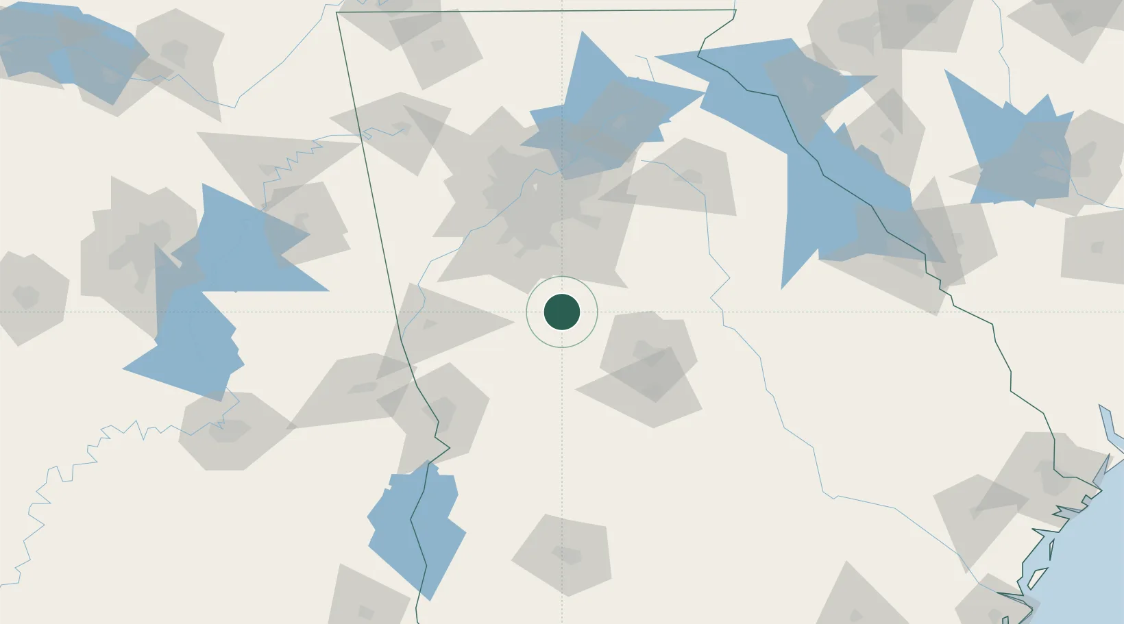
Location
Nearby Logistics Neighbours
Cities
- 1Williamson15 km
- 2The Rock17 km
- 3Sunny Side25 km
- 4Forsyth27 km
- 5Jenkinsburg27 km
Ports
- 1Savannah314 km
- 2Darien325 km
- 3Brunswick335 km
- 4Beaufort339 km
- 5Port Royal339 km
Airports
Trade Zones
- 1FTZ No. 026 Atlanta74 km
- 2FTZ No. 222 Montgomery214 km
- 3FTZ No. 233 Dothan240 km
- 4FTZ No. 134 Chattanooga246 km
- 5FTZ No. 098 Birmingham247 km
DatabookThe Record of Consolidated Knowledge
United States beyond logistics?