Medium airport · Canada
Manitouwadge AirportCYMG
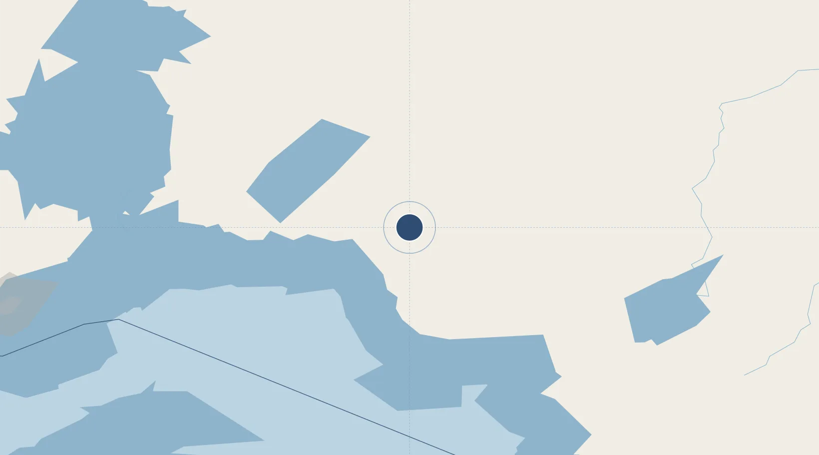
49.0839°, -85.8606°
3,600 ft
Longest runway
1
Runways
1,198 ft
Elevation
Runway & Layout

Radio Frequencies
A/D
126.7 MHz
LONDON RDO
UNIC
122.8 MHz
ATF/UNICOM
Runways · 1
| Runway | Dimensions | Surface | True heading | Lit |
|---|---|---|---|---|
| 05/23 | 3,600 × 100ft | Asphalt | 042° | ✓ |
Airport Specifications
IATA code
YMG
ICAO code
CYMG
Airport class
Medium airport
Scheduled service
No
Runway surface
Asphalt
Served city
Manitouwadge
Location
Nearby Logistics Neighbours
Airports
- 1Marathon Airport51 km
- 2Hornepayne Municipal Airport81 km
- 3Geraldton Greenstone Regional Airport110 km
- 4Nakina Airport136 km
- 5Wawa Airport147 km
Cities
- 1Rossport124 km
- 2Wellington141 km
- 3Red Rock177 km
- 4Thunder Bay257 km
- 5Fort William259 km
Ports
- 1Heron Bay59 km
- 2Michipicoten143 km
- 3Thunder Bay259 km
- 4Goulais Bay280 km
- 5Houghton297 km
Trade Zones
- 1FTZ No. 016 Sault Ste. Marie309 km
- 2FTZ No. 167 Brown County546 km
- 3FTZ No. 019 Omaha647 km
- 4FTZ No. 189 Kent Ottawa/Muskegon Counties651 km
- 5FTZ No. 101 Clinton County688 km
DatabookThe Record of Consolidated Knowledge
Canada beyond logistics?