Medium airport · Canada
Geraldton Greenstone Regional AirportCYGQ
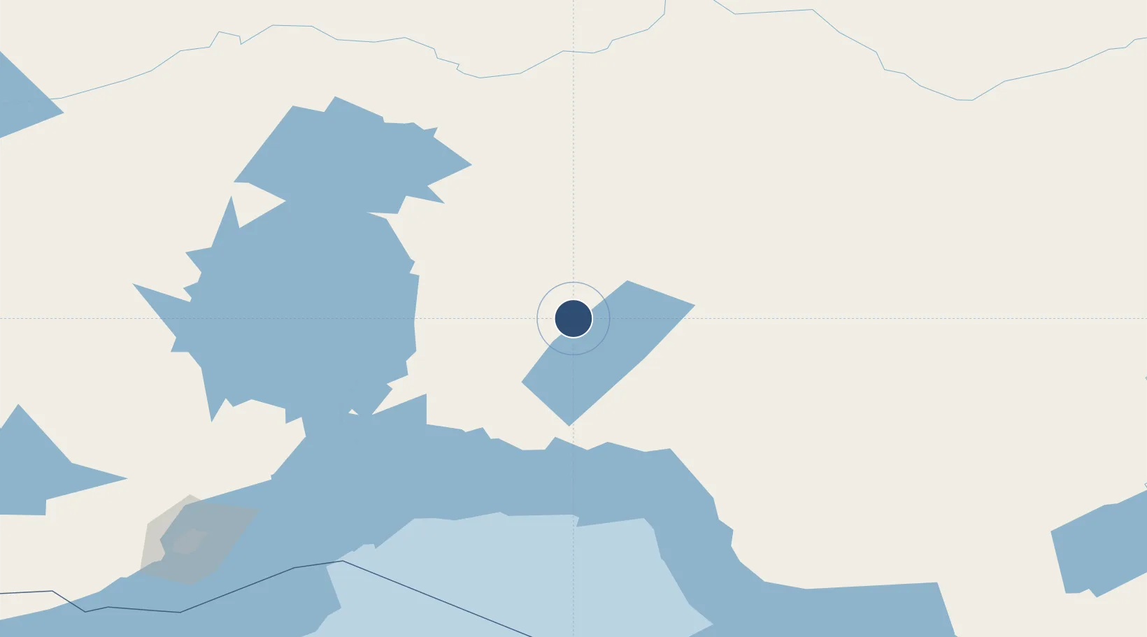
49.7783°, -86.9394°
5,000 ft
Longest runway
1
Runways
1,144 ft
Elevation
Runway & Layout

Radio Frequencies
RCO
123.475 MHz
LONDON RADIO
UNIC
122.8 MHz
ATF/UNICOM
Navaids
C7 NDB Geraldton 362 kHz
YGQ VOR-DME Geraldton 114.20 MHz
Runways · 1
| Runway | Dimensions | Surface | True heading | Lit |
|---|---|---|---|---|
| 08/26 | 5,000 × 100ft | Asphalt | 072° | ✓ |
Airport Specifications
IATA code
YGQ
ICAO code
CYGQ
Airport class
Medium airport
Scheduled service
No
Runway surface
Asphalt
Served city
Geraldton
Location
Nearby Logistics Neighbours
Airports
- 1Nakina Airport48 km
- 2Manitouwadge Airport110 km
- 3Marathon Airport122 km
- 4Armstrong Airport152 km
- 5Hornepayne Municipal Airport170 km
Cities
- 1Wellington60 km
- 2Rossport113 km
- 3Red Rock134 km
- 4Thunder Bay225 km
- 5Fort William227 km
Ports
- 1Heron Bay133 km
- 2Thunder Bay227 km
- 3Michipicoten251 km
- 4Houghton319 km
- 5Grand Marais336 km
Trade Zones
- 1FTZ No. 016 Sault Ste. Marie411 km
- 2FTZ No. 051 Duluth516 km
- 3FTZ No. 167 Brown County600 km
- 4FTZ No. 119 Minneapolis-St. Paul714 km
- 5FTZ No. 019 Omaha721 km
DatabookThe Record of Consolidated Knowledge
Canada beyond logistics?