Medium airport · Canada
Nakina AirportCYQN
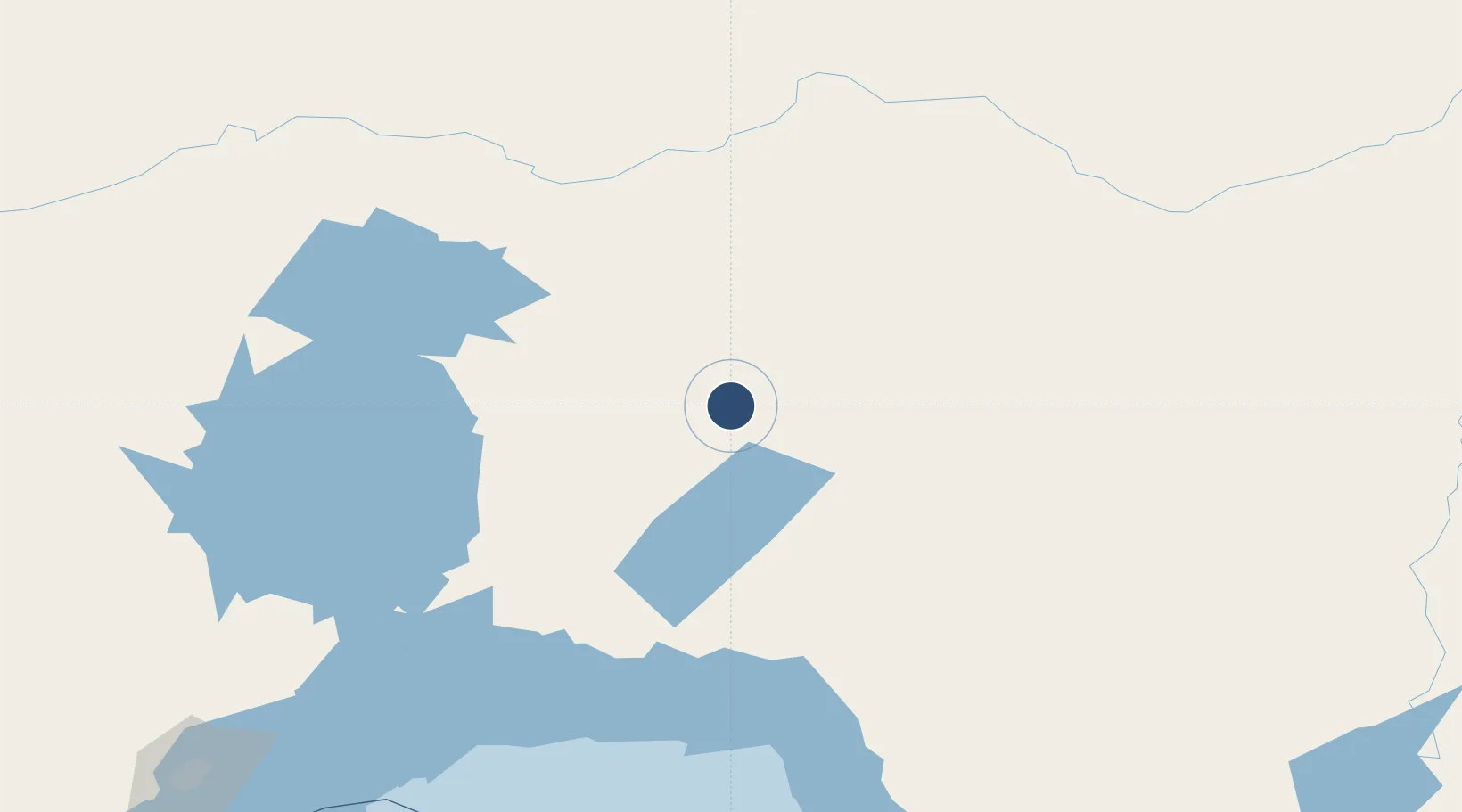
50.1828°, -86.6964°
3,500 ft
Longest runway
1
Runways
1,057 ft
Elevation
Runway & Layout

Radio Frequencies
UNIC
122.8 MHz
ATF/UNICOM
Navaids
QN NDB Nakina 233 kHz
Runways · 1
| Runway | Dimensions | Surface | True heading | Lit |
|---|---|---|---|---|
| 09/27 | 3,500 × 100ft | Asphalt | 085° | ✓ |
Airport Specifications
IATA code
YQN
ICAO code
CYQN
Airport class
Medium airport
Scheduled service
Yes
Runway surface
Asphalt
Served city
Nakina
Location
Nearby Logistics Neighbours
Airports
- 1Geraldton Greenstone Regional Airport48 km
- 2Manitouwadge Airport136 km
- 3Armstrong Airport158 km
- 4Marathon Airport161 km
- 5Ogoki Post Airport173 km
Cities
- 1Wellington101 km
- 2Rossport161 km
- 3Red Rock179 km
- 4Lansdowne241 km
- 5Thunder Bay269 km
Ports
- 1Heron Bay173 km
- 2Thunder Bay270 km
- 3Michipicoten279 km
- 4Houghton368 km
- 5Grand Marais379 km
Trade Zones
- 1FTZ No. 016 Sault Ste. Marie444 km
- 2FTZ No. 051 Duluth558 km
- 3FTZ No. 259 Koochiching County592 km
- 4FTZ No. 167 Brown County648 km
- 5FTZ No. 119 Minneapolis-St. Paul759 km
DatabookThe Record of Consolidated Knowledge
Canada beyond logistics?