Medium airport · Canada
Marathon AirportCYSP
48.7553°, -86.3444°
3,933 ft
Longest runway
1
Runways
1,035 ft
Elevation
Runway & Layout

Radio Frequencies
CNTR
134.075 MHz
WINNIPEG CNTR
RCO
123.55 MHz
WINNIPEG RDO
UNIC
122.8 MHz
ATF/UNICOM
Navaids
YSP VOR-DME Marathon 115.90 MHz
Runways · 1
| Runway | Dimensions | Surface | True heading | Lit |
|---|---|---|---|---|
| 16/34 | 3,933 × 100ft | Asphalt | 153° | ✓ |
Airport Specifications
IATA code
YSP
ICAO code
CYSP
Airport class
Medium airport
Scheduled service
No
Runway surface
Asphalt
Served city
Marathon
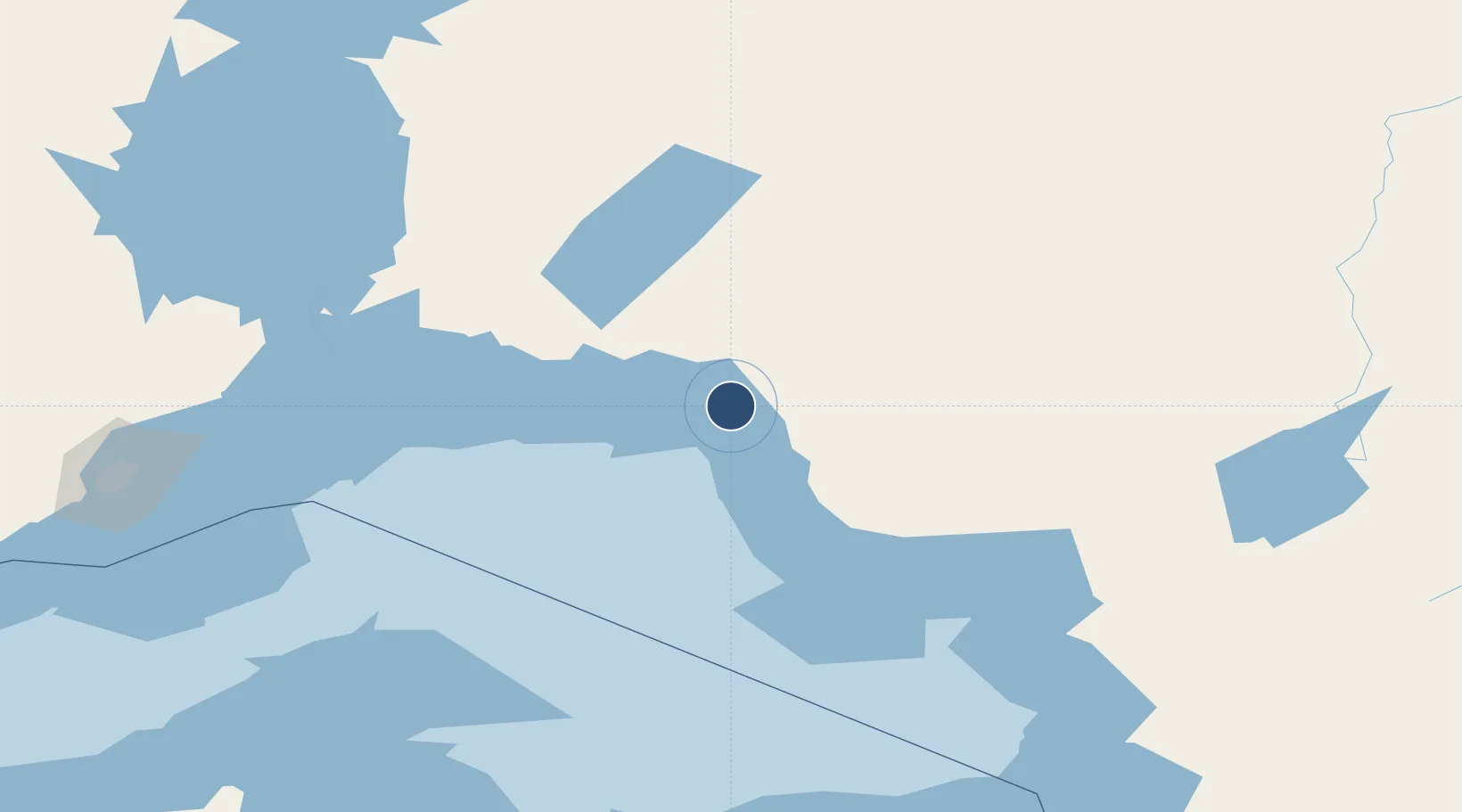
Location
Nearby Logistics Neighbours
Airports
- 1Manitouwadge Airport51 km
- 2Geraldton Greenstone Regional Airport122 km
- 3Hornepayne Municipal Airport126 km
- 4Wawa Airport145 km
- 5Nakina Airport161 km
Cities
- 1Rossport86 km
- 2Wellington130 km
- 3Red Rock144 km
- 4Thunder Bay215 km
- 5Fort William216 km
Ports
- 1Heron Bay12 km
- 2Michipicoten138 km
- 3Thunder Bay216 km
- 4Houghton246 km
- 5Presque Isle256 km
Trade Zones
- 1FTZ No. 016 Sault Ste. Marie291 km
- 2FTZ No. 051 Duluth494 km
- 3FTZ No. 167 Brown County500 km
- 4FTZ No. 019 Omaha608 km
- 5FTZ No. 189 Kent Ottawa/Muskegon Counties614 km
DatabookThe Record of Consolidated Knowledge
Canada beyond logistics?