Transport Functions
Road
Multimodal
Hub Profile
Place type
Populated place
Region
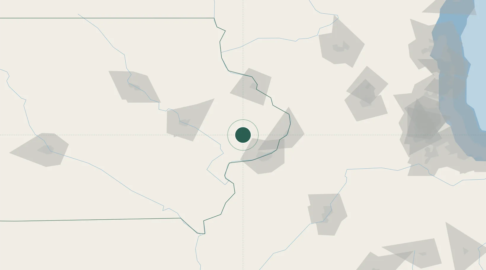
Iowa
Population
733
Time zone
America/Chicago
Elevation
210 m
Location
Nearby Logistics Neighbours
Cities
- 1New Liberty12 km
- 2Walcott27 km
- 3Monmouth28 km
- 4Wilton30 km
- 5Moscow37 km
Ports
- 1Great Lakes253 km
- 2Waukegan256 km
- 3Wilmette262 km
- 4Kenosha263 km
- 5Chicago268 km
Airports
Trade Zones
- 1FTZ No. 271 Jo-Daviess and Carroll Counties74 km
- 2FTZ No. 175 Cedar Rapids82 km
- 3FTZ No. 055 Burlington114 km
- 4FTZ No. 176 Rockford143 km
- 5FTZ No. 114 Peoria162 km
DatabookThe Record of Consolidated Knowledge
United States beyond logistics?