Transport Functions
Rail
Road
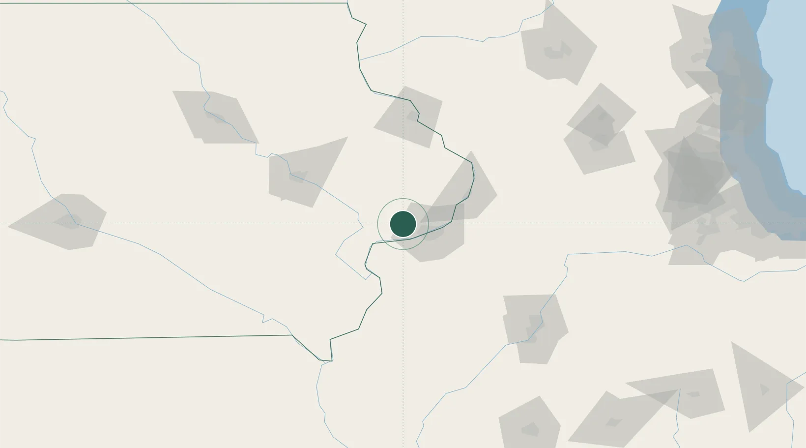
Hub Profile
Place type
Populated place
Region
Iowa
Population
1,636
Time zone
America/Chicago
Elevation
223 m
Location
Nearby Logistics Neighbours
Cities
- 1New Liberty18 km
- 2Wilton21 km
- 3Illinois City24 km
- 4Oak Grove26 km
- 5Wheatland27 km
Ports
- 1Great Lakes255 km
- 2Waukegan259 km
- 3Wilmette261 km
- 4Chicago265 km
- 5Kenosha268 km
Airports
Trade Zones
- 1FTZ No. 055 Burlington90 km
- 2FTZ No. 271 Jo-Daviess and Carroll Counties92 km
- 3FTZ No. 175 Cedar Rapids96 km
- 4FTZ No. 114 Peoria140 km
- 5FTZ No. 176 Rockford149 km
DatabookThe Record of Consolidated Knowledge
United States beyond logistics?