Transport Functions
Road
Multimodal
Hub Profile
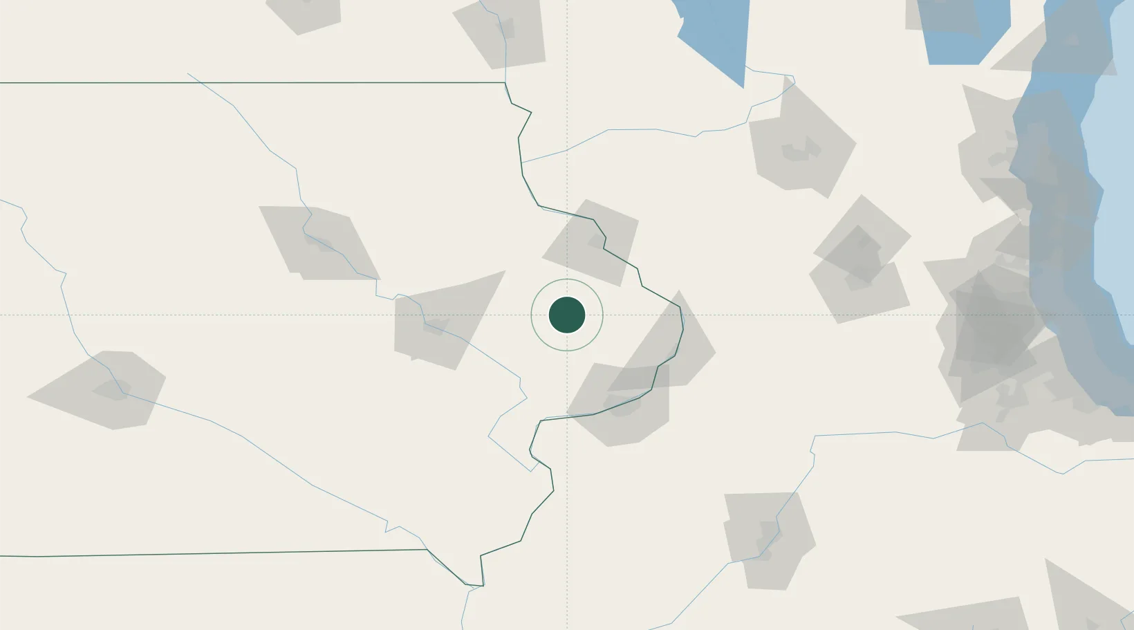
Place type
Populated place
Region
Iowa
Population
151
Time zone
America/Chicago
Elevation
230 m
Location
Nearby Logistics Neighbours
Cities
- 1Wheatland28 km
- 2New Liberty39 km
- 3Farley42 km
- 4Hopkinton42 km
- 5Lisbon46 km
Ports
- 1Great Lakes251 km
- 2Waukegan253 km
- 3Kenosha257 km
- 4Wilmette263 km
- 5Racine264 km
Airports
Trade Zones
- 1FTZ No. 271 Jo-Daviess and Carroll Counties59 km
- 2FTZ No. 175 Cedar Rapids78 km
- 3FTZ No. 176 Rockford138 km
- 4FTZ No. 055 Burlington141 km
- 5FTZ No. 266 Dane County147 km
DatabookThe Record of Consolidated Knowledge
United States beyond logistics?