Transport Functions
Port
Rail
Road
Multimodal
Hub Profile
Place type
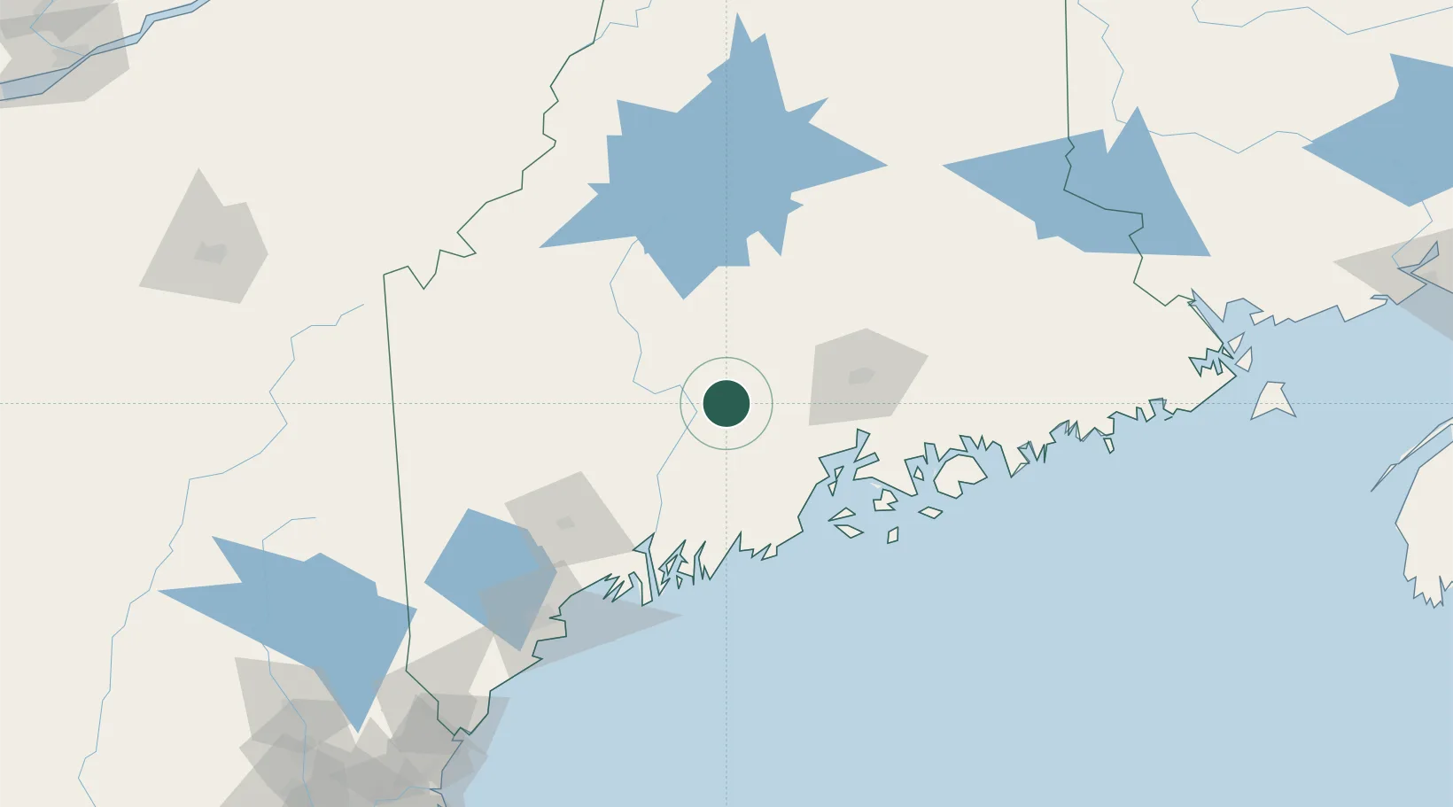
Populated place
Region
Maine
Population
1,187
Time zone
America/New_York
Elevation
43 m
Location
Nearby Logistics Neighbours
Cities
- 1Pittsfield12 km
- 2Unity12 km
- 3Fairfield16 km
- 4Newport21 km
- 5North Vassalboro27 km
Ports
- 1Belfast45 km
- 2Winterport47 km
- 3Searsport49 km
- 4Augusta49 km
- 5Sandypoint52 km
Airports
- 1Augusta State Airport50 km
- 2Bangor International Airport50 km
- 3Islesboro Airport59 km
- 4Witherspoons Airport74 km
- 5Knox County Regional Airport74 km
Trade Zones
- 1FTZ No. 186 Waterville26 km
- 2FTZ No. 058 Bangor51 km
- 3FTZ No. 263 Auburn90 km
- 4FTZ No. 081 Portsmouth213 km
- 5Saint John273 km
DatabookThe Record of Consolidated Knowledge
United States beyond logistics?