UN/LOCODE hub · United States
USNWQ
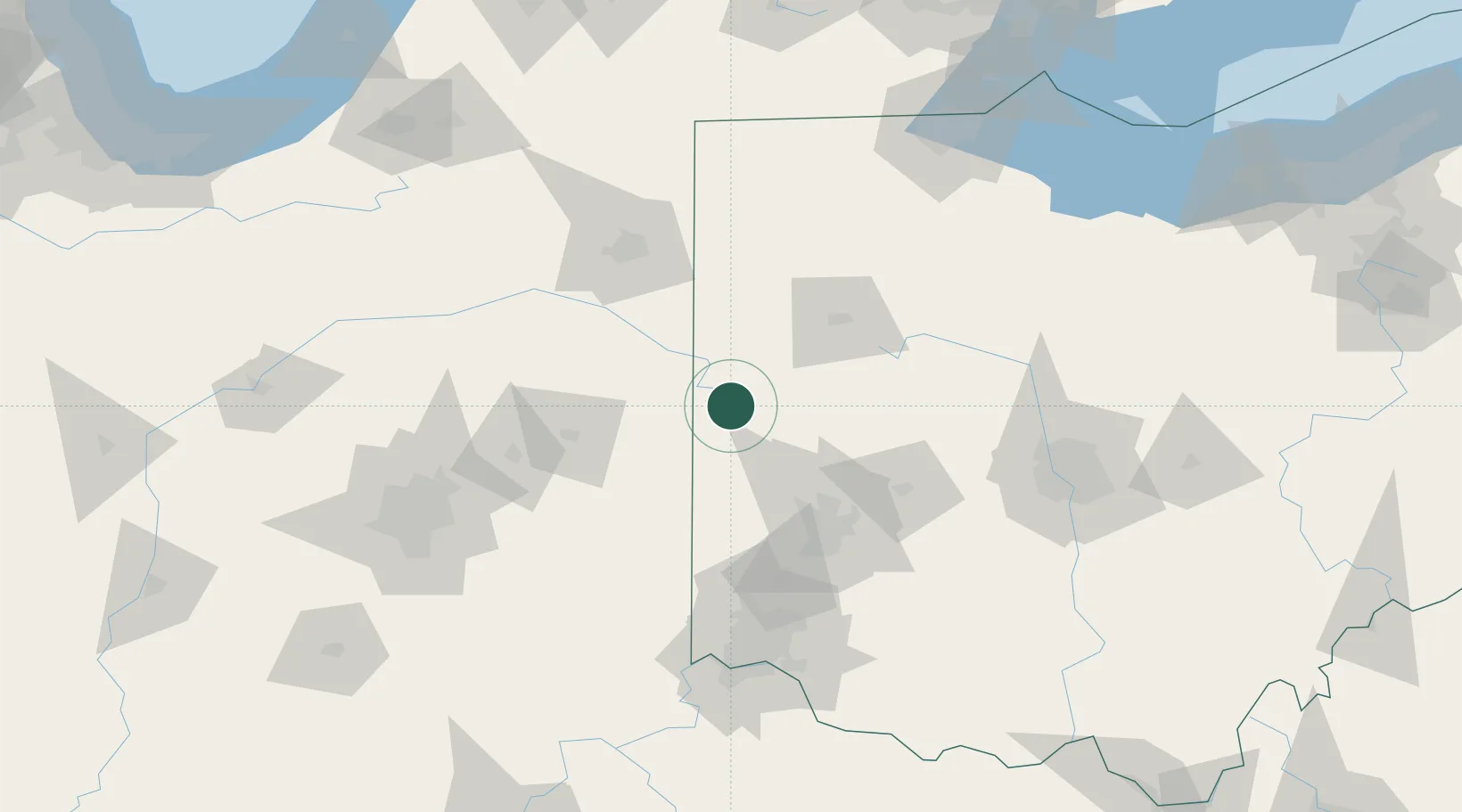
New Weston
40.3333°, -84.6333°
134
Population
2
Transport functions
Transport Functions
Road
Multimodal
Hub Profile
Place type
Populated place
Region
Ohio
Population
134
Time zone
America/New_York
Elevation
308 m
Location
Nearby Logistics Neighbours
Cities
- 1Saint Henry9 km
- 2Fort Recovery14 km
- 3Versailles18 km
- 4Russia23 km
- 5Claves24 km
Ports
- 1Toledo181 km
- 2Port Clinton194 km
- 3Sandusky203 km
- 4Monroe204 km
- 5Put In Bay211 km
Airports
Trade Zones
- 1FTZ No. 100 Dayton67 km
- 2FTZ No. 182 Fort Wayne100 km
- 3FTZ No. 151 Findlay111 km
- 4FTZ No. 054 Clinton County124 km
- 5FTZ No. 046 CIncinnati138 km
DatabookThe Record of Consolidated Knowledge
United States beyond logistics?