UN/LOCODE hub · United States
USDTY
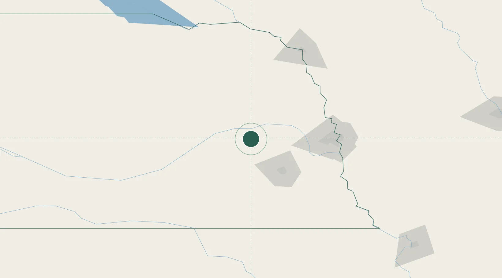
David City
41.2500°, -97.1167°
2,836
Population
2
Transport functions
Transport Functions
Rail
Road
Hub Profile
Place type
Provincial seat
Region
Nebraska
Population
2,836
Time zone
America/Chicago
Elevation
492 m
Location
Nearby Logistics Neighbours
Cities
- 1Shelby26 km
- 2Valparaiso30 km
- 3Morse Bluff36 km
- 4North Bend37 km
- 5Seward39 km
Ports
- 1Superior731 km
- 2Duluth733 km
- 3Two Harbors775 km
- 4Ashland777 km
- 5Washburn782 km
Airports
- 1Columbus Municipal Airport29 km
- 2Lincoln Airport54 km
- 3Karl Stefan Memorial Airport86 km
- 4Offutt Air Force Base102 km
- 5Eppley Airfield102 km
Trade Zones
- 1FTZ No. 059 Lincoln55 km
- 2FTZ No. 133 Quad-Cities, Iowa Illinois140 km
- 3FTZ No. 288 Northwest Iowa229 km
- 4FTZ No. 220 Sioux Falls257 km
- 5FTZ No. 107 Polk County288 km
DatabookThe Record of Consolidated Knowledge
United States beyond logistics?