Transport Functions
Rail
Road
Hub Profile
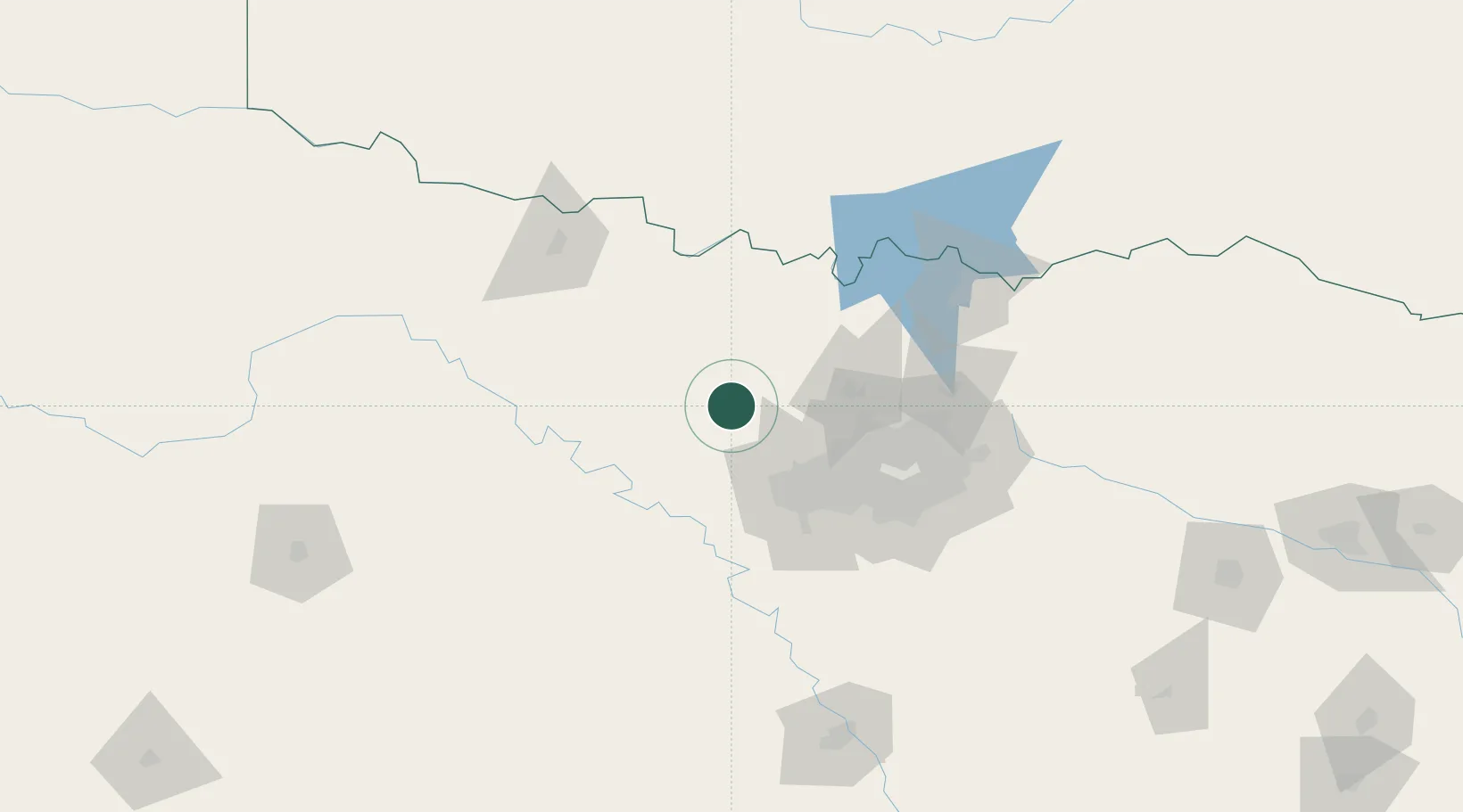
Place type
Populated place
Region
Texas
Population
468
Time zone
America/Chicago
Elevation
231 m
Location
Nearby Logistics Neighbours
Cities
- 1Bridgeport10 km
- 2Decatur13 km
- 3Newark25 km
- 4Azle33 km
- 5Haslet36 km
Airports
Trade Zones
- 1FTZ No. 196 Fort Worth40 km
- 2FTZ No. 168 Dallas Fort Worth48 km
- 3FTZ No. 039 Dallas Fort Worth59 km
- 4FTZ No. 113 Ellis County113 km
- 5FTZ No. 227 Durant153 km
DatabookThe Record of Consolidated Knowledge
United States beyond logistics?