UN/LOCODE hub · United States
USDRB
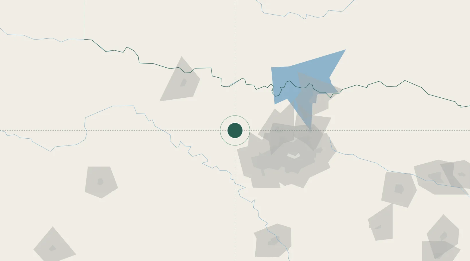
Bridgeport
33.2167°, -97.7500°
6,381
Population
3
Transport functions
Transport Functions
Rail
Road
Multimodal
Hub Profile
Place type
Populated place
Region
Texas
Population
6,381
Time zone
America/Chicago
Elevation
244 m
Location
Nearby Logistics Neighbours
Airports
Trade Zones
- 1FTZ No. 196 Fort Worth49 km
- 2FTZ No. 168 Dallas Fort Worth57 km
- 3FTZ No. 039 Dallas Fort Worth62 km
- 4FTZ No. 113 Ellis County123 km
- 5FTZ No. 227 Durant153 km
DatabookThe Record of Consolidated Knowledge
United States beyond logistics?