UN/LOCODE hub · United States
USVOL

Viola

40.5167°, -121.6833°
2
Transport functions

Transport Functions

Road
Multimodal
UN/LOCODE

Hub Profile

Place type
Populated place
GeoNames
Region
California
GeoNames
Time zone
America/Los_Angeles
GeoNames
Elevation
1,353 m
GeoNames

Location

Location of USVOL
Natural Earth 10m (public domain) · California · USVOL · 40.52, -121.68GoogleOSMYandex

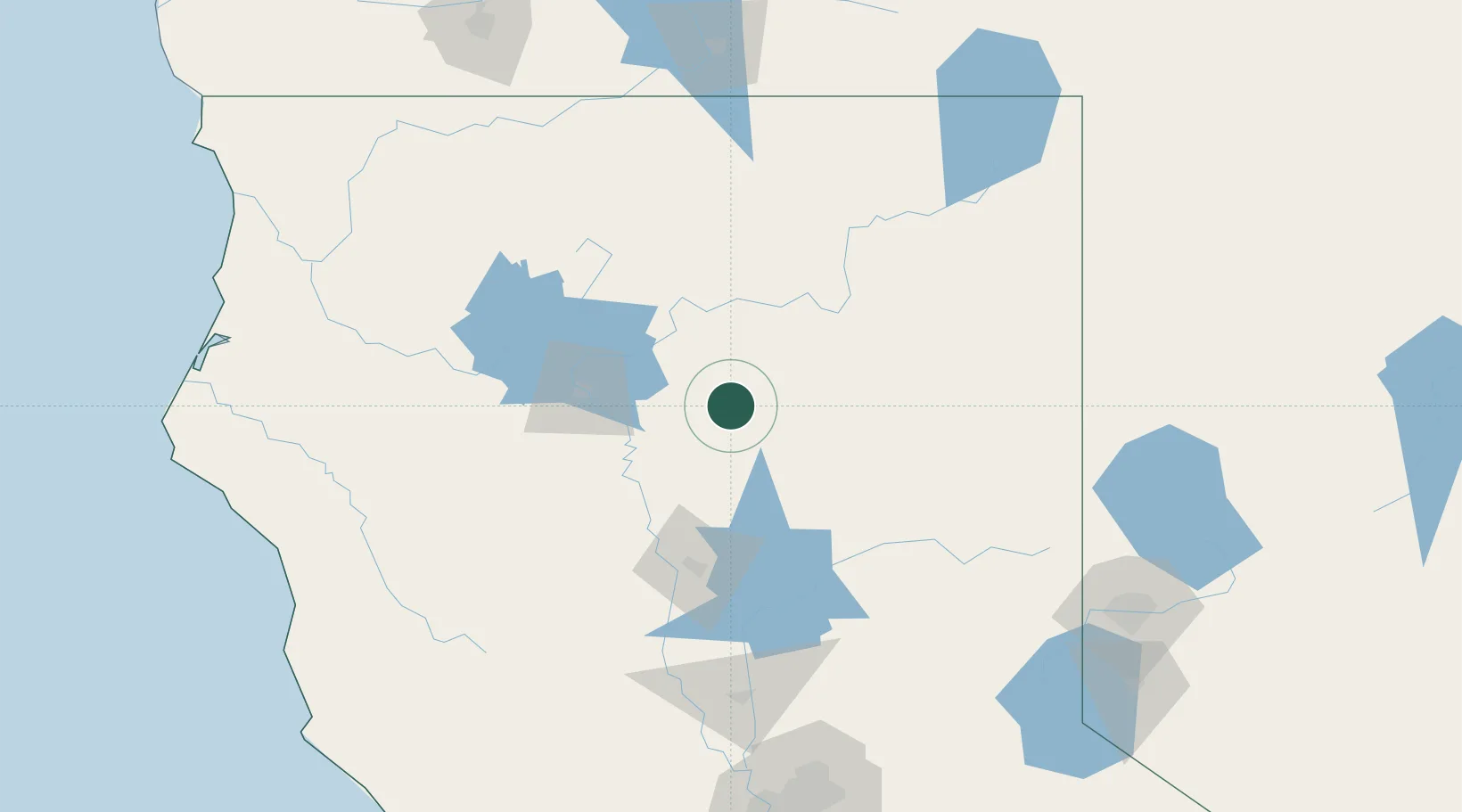
Nearby Logistics Neighbours

Cities
  1. 1Butte Meadows51 km
  2. 2Lake Almanor54 km
  3. 3Proberta63 km
  4. 4Lakeshore72 km
  5. 5Forest Ranch72 km
Nearest neighbours — logibook spatial index (haversine) over the source coordinates
Ports
  1. 1Sacramento216 km
  2. 2Fort Bragg217 km
  3. 3Courtland243 km
  4. 4Walnut Grove254 km
  5. 5Isleton261 km
Nearest neighbours — logibook spatial index (haversine) over the source coordinates
Airports
  1. 1Redding Municipal Airport52 km
  2. 2Red Bluff Municipal Airport63 km
  3. 3Beale Air Force Base155 km
  4. 4Yuba County Airport158 km
  5. 5Crater Lake-Klamath Regional Airport182 km
Nearest neighbours — logibook spatial index (haversine) over the source coordinates
Trade Zones
  1. 1FTZ No. 126 Sparks193 km
  2. 2FTZ No. 248 Eureka211 km
  3. 3FTZ No. 143 West Sacramento216 km
  4. 4FTZ No. 231 Stockton287 km
  5. 5FTZ No. 056 Oakland306 km
Nearest neighbours — logibook spatial index (haversine) over the source coordinates
DatabookThe Record of Consolidated Knowledge
United States beyond logistics?
Browse databook

All Sources

LocationsUN/LOCODE
UN/LOCODE — free
Portsthe NGA World Port Index
Public domain (US gov)
AirportsOurAirports
Public domain
Trade Zonesthe World Bank SEZ database
CC BY 4.0
Trade ZonesOpen Zone Map
CC BY
← United States locations