UN/LOCODE hub · United States
USBU2
Butte Meadows
40.0667°, -121.5500°
40
Population
1
Transport functions
Transport Functions
Port
Hub Profile
Place type
Populated place
Region
California
Population
40
Time zone
America/Los_Angeles
Elevation
1,323 m
Location
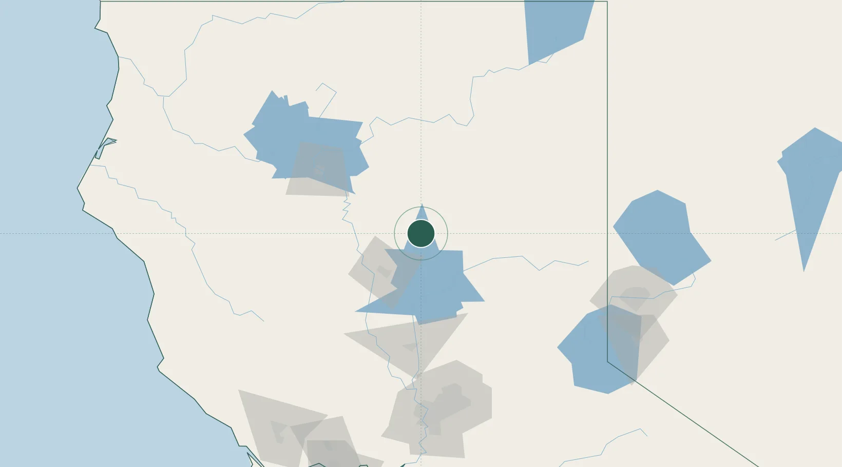
Nearby Logistics Neighbours
Cities
- 1Forest Ranch24 km
- 2Lake Almanor40 km
- 3Berry Creek50 km
- 4Viola51 km
- 5Proberta53 km
Ports
- 1Sacramento165 km
- 2Courtland193 km
- 3Walnut Grove204 km
- 4Fort Bragg206 km
- 5Isleton211 km
Airports
- 1Red Bluff Municipal Airport60 km
- 2Redding Municipal Airport80 km
- 3Beale Air Force Base104 km
- 4Yuba County Airport108 km
- 5Truckee Tahoe Airport147 km
Trade Zones
- 1FTZ No. 126 Sparks160 km
- 2FTZ No. 143 West Sacramento165 km
- 3FTZ No. 248 Eureka236 km
- 4FTZ No. 231 Stockton236 km
- 5FTZ No. 056 Oakland259 km
DatabookThe Record of Consolidated Knowledge
United States beyond logistics?