UN/LOCODE hub · United States
USRA3
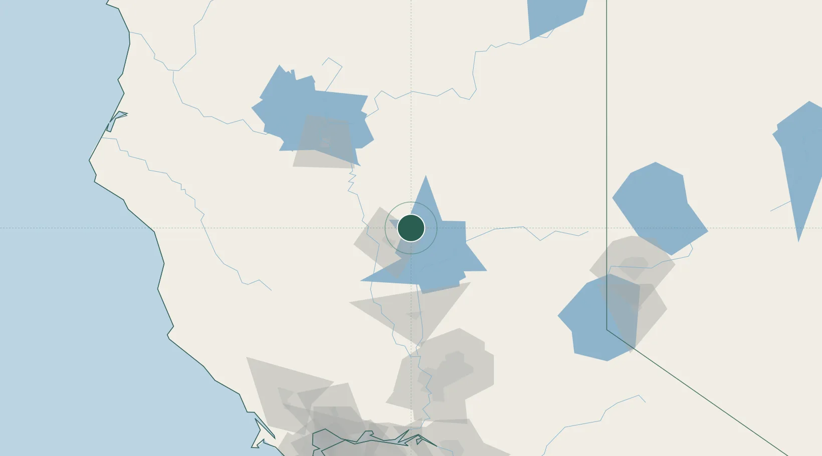
Forest Ranch
39.8667°, -121.6667°
1,184
Population
2
Transport functions
Transport Functions
Port
Road
Hub Profile
Place type
Populated place
Region
California
Population
1,184
Time zone
America/Los_Angeles
Elevation
736 m
Location
Nearby Logistics Neighbours
Cities
- 1Butte Meadows24 km
- 2Berry Creek35 km
- 3Nelson36 km
- 4Richvale43 km
- 5Orland47 km
Ports
- 1Sacramento143 km
- 2Courtland171 km
- 3Walnut Grove182 km
- 4Isleton189 km
- 5Fort Bragg190 km
Airports
- 1Red Bluff Municipal Airport59 km
- 2Beale Air Force Base84 km
- 3Yuba County Airport86 km
- 4Redding Municipal Airport89 km
- 5Sacramento International Airport130 km
Trade Zones
- 1FTZ No. 143 West Sacramento143 km
- 2FTZ No. 126 Sparks164 km
- 3FTZ No. 231 Stockton215 km
- 4FTZ No. 056 Oakland235 km
- 5FTZ No. 248 Eureka236 km
DatabookThe Record of Consolidated Knowledge
United States beyond logistics?