UN/LOCODE hub · United States
USPJA

Proberta

40.0833°, -122.1667°
267
Population
2
Transport functions

Transport Functions

Rail
Road
UN/LOCODE

Hub Profile

Place type
Populated place
GeoNames
Region
California
GeoNames
Population
267
GeoNames
Time zone
America/Los_Angeles
GeoNames
Elevation
77 m
GeoNames

Location

Location of USPJA
Natural Earth 10m (public domain) · California · USPJA · 40.08, -122.17GoogleOSMYandex

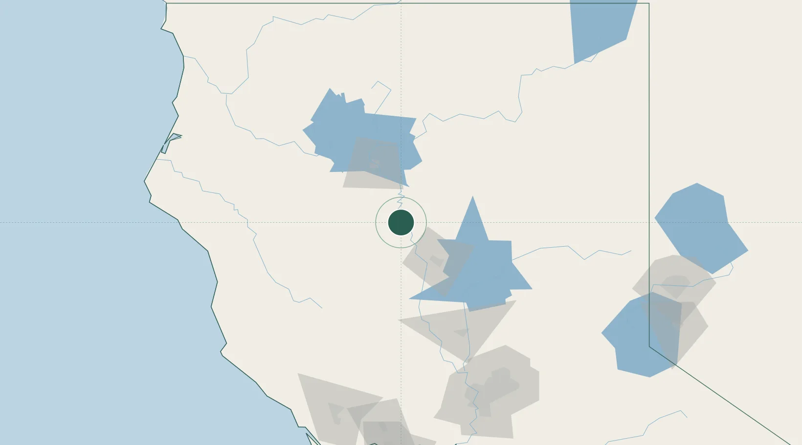
Nearby Logistics Neighbours

Cities
  1. 1Orland39 km
  2. 2Forest Ranch49 km
  3. 3Butte Meadows53 km
  4. 4Viola63 km
  5. 5Nelson68 km
Nearest neighbours — logibook spatial index (haversine) over the source coordinates
Ports
  1. 1Fort Bragg158 km
  2. 2Sacramento176 km
  3. 3Fields Landing187 km
  4. 4Eureka188 km
  5. 5Samoa189 km
Nearest neighbours — logibook spatial index (haversine) over the source coordinates
Airports
  1. 1Red Bluff Municipal Airport10 km
  2. 2Redding Municipal Airport49 km
  3. 3Yuba County Airport121 km
  4. 4Beale Air Force Base123 km
  5. 5Ukiah Municipal Airport139 km
Nearest neighbours — logibook spatial index (haversine) over the source coordinates
Trade Zones
  1. 1FTZ No. 143 West Sacramento176 km
  2. 2FTZ No. 248 Eureka187 km
  3. 3FTZ No. 126 Sparks211 km
  4. 4FTZ No. 231 Stockton248 km
  5. 5FTZ No. 056 Oakland253 km
Nearest neighbours — logibook spatial index (haversine) over the source coordinates
DatabookThe Record of Consolidated Knowledge
United States beyond logistics?
Browse databook

All Sources

LocationsUN/LOCODE
UN/LOCODE — free
LocationsGeoNames
CC BY 4.0
Portsthe NGA World Port Index
Public domain (US gov)
AirportsOurAirports
Public domain
Trade Zonesthe World Bank SEZ database
CC BY 4.0
Trade ZonesOpen Zone Map
CC BY
← United States locations