Medium airport · United States
Crater Lake-Klamath Regional AirportKLMT
42.1561°, -121.7330°
10,302 ft
Longest runway
2
Runways
4,095 ft
Elevation
Runway & Layout

Radio Frequencies
ATIS
126.5 MHz
TWR
118.2 MHz
KINGSLEY TWR
GND
121.9 MHz
CTAF
118.2 MHz
A/D
123.675 MHz
KINGSLEY APP/DEP
OPS
38.895 MHz
ANG BASE OPS
RDO
122.6 MHz
MC MINNVILLE RDO
UNIC
122.95 MHz
UNICOM
Navaids
LFA NDB Merrill 347 kHz
LMT VORTAC Klamath Falls 115.90 MHz
Runways · 2
| Runway | Dimensions | Surface | True heading | Lit |
|---|---|---|---|---|
| 14/32 | 10,302 × 150ft | Asphalt / concrete | 158° | ✓ |
| 07/25 | 5,260 × 100ft | Asphalt | 090° | ✓ |
Airport Specifications
IATA code
LMT
ICAO code
KLMT
Airport class
Medium airport
Scheduled service
No
Runway surface
Asphalt / concrete
Served city
Klamath Falls
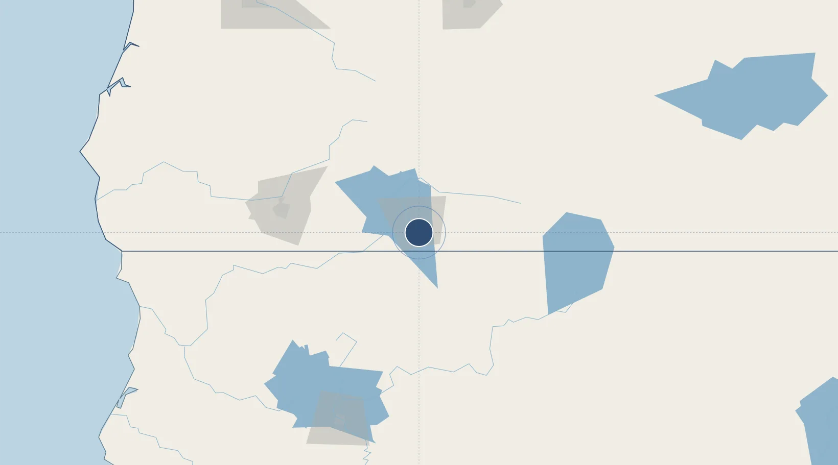
Location
Nearby Logistics Neighbours
Airports
- 1Rogue Valley International-Medford Airport97 km
- 2Redding Municipal Airport189 km
- 3Red Bluff Municipal Airport227 km
- 4Roberts Field238 km
- 5Eugene Airport250 km
Cities
- 1Mammoth57 km
- 2Fort Klamath64 km
- 3Talent87 km
- 4Phoenix89 km
- 5Weed97 km
Ports
- 1Crescent City209 km
- 2Port Orford236 km
- 3Prosper242 km
- 4Coos Bay243 km
- 5Bandon244 km
Trade Zones
- 1FTZ No. 132 Coos County243 km
- 2FTZ No. 248 Eureka252 km
- 3FTZ No. 126 Sparks330 km
- 4FTZ No. 045 Portland386 km
- 5FTZ No. 296 Vancouver395 km
DatabookThe Record of Consolidated Knowledge
United States beyond logistics?