Channel & Berth Profile
Pilotage, Tugs & Services
Pilotage availableYES
Shore powerYES
Potable waterYES
Diesel bunkersYES
MedicalYES
Garbage disposalYES
Facilities & Capabilities
Container—
Ro-Ro—
Liquid bulk—
Dry bulk—
Oil terminal—
Break bulk—
Dry dock—
Repairs—
BunkeringNO
Rail linkYES
Dangerous cargo—
ISPS security—
Harbour Specifications
Harbour size
Very Small
Harbour type
Coastal (Natural)
Shelter
Good
Water body
North Pacific Ocean
Tidal range
1.2 m
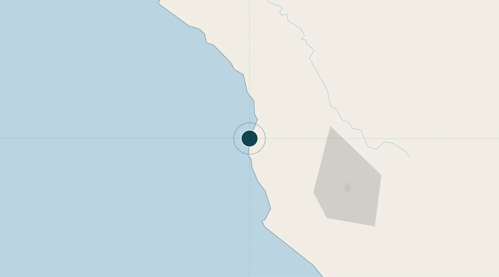
Location
Nearby Logistics Neighbours
Ports
- 1Bodega Bay141 km
- 2Fields Landing145 km
- 3Eureka153 km
- 4Samoa155 km
- 5Mare Island202 km
Cities
- 1Westport21 km
- 2Laytonville40 km
- 3Philo55 km
- 4Redwood Valley58 km
- 5Point Arena62 km
Airports
Trade Zones
- 1FTZ No. 248 Eureka153 km
- 2FTZ No. 143 West Sacramento220 km
- 3FTZ No. 003 San Francisco221 km
- 4FTZ No. 056 Oakland227 km
- 5FTZ No. 231 Stockton273 km
DatabookThe Record of Consolidated Knowledge
United States beyond logistics?