Medium airport · United States
Beale Air Force BaseKBAB
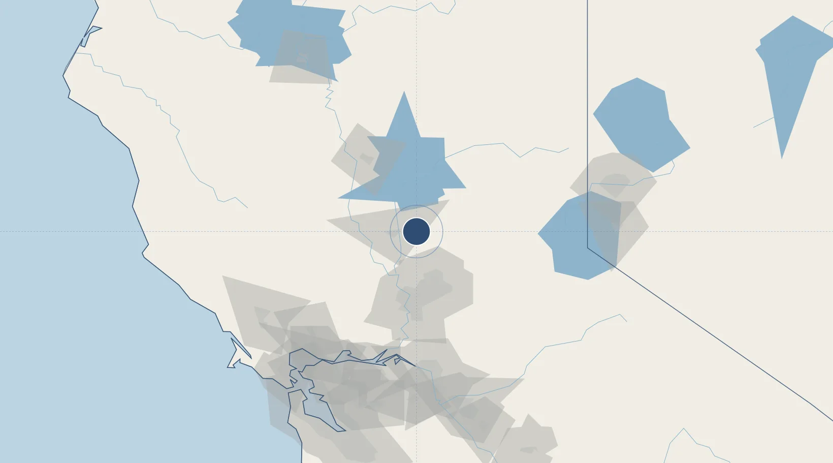
39.1361°, -121.4370°
12,001 ft
Longest runway
1
Runways
113 ft
Elevation
Runway & Layout

Radio Frequencies
ATIS
27.35 MHz
TWR
119.4 MHz
GND
121.6 MHz
APP
125.4 MHz
NORCAL APP
DEP
125.4 MHz
NORCAL DEP
ACP
25.602 MHz
940TH COMD POST
MISC
138.5 MHz
SUPERVISOR OF FLYING
PMSV
23.98 MHz
PMSV METRO
POST
32.1 MHz
WING COMD POST
PTD
140.875 MHz
Navaids
BAB TACAN Beale 108.60 MHz
Runways · 1
| Runway | Dimensions | Surface | True heading | Lit |
|---|---|---|---|---|
| 15/33 | 12,001 × 300ft | Concrete | 161° | ✓ |
Airport Specifications
IATA code
BAB
ICAO code
KBAB
Airport class
Medium airport
Scheduled service
No
Runway surface
Concrete
Served city
Beale Air Force Base
Location
Nearby Logistics Neighbours
Airports
Cities
- 1Olivehurst11 km
- 2Sunset22 km
- 3Penn Valley23 km
- 4Live Oak25 km
- 5Beale Air Force Base26 km
Ports
- 1Sacramento62 km
- 2Courtland90 km
- 3Walnut Grove101 km
- 4Isleton109 km
- 5Rio Vista112 km
Trade Zones
- 1FTZ No. 143 West Sacramento62 km
- 2FTZ No. 231 Stockton132 km
- 3FTZ No. 126 Sparks150 km
- 4FTZ No. 056 Oakland165 km
- 5FTZ No. 003 San Francisco171 km
DatabookThe Record of Consolidated Knowledge
United States beyond logistics?