Medium airport · United States
Redding Municipal AirportKRDD
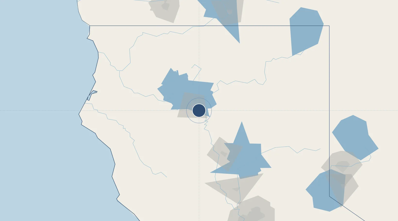
40.5090°, -122.2930°
7,003 ft
Longest runway
2
Runways
505 ft
Elevation
Runway & Layout

Radio Frequencies
ATIS
124.1 MHz
TWR
119.8 MHz
GND
121.7 MHz
CTAF
119.8 MHz
CNTR
132.2 MHz
OAKLAND CNTR
RDO
108.4 MHz
RANCHO RDO
UNIC
122.95 MHz
UNICOM
Navaids
RD NDB Lassn 367 kHz
RDD VOR-DME Redding 108.40 MHz
Runways · 2
| Runway | Dimensions | Surface | True heading | Lit |
|---|---|---|---|---|
| 16/34 | 7,003 × 150ft | Asphalt | 180° | ✓ |
| 12/30 | 5,067 × 150ft | Asphalt | 140° | ✓ |
Airport Specifications
IATA code
RDD
ICAO code
KRDD
Airport class
Medium airport
Scheduled service
Yes
Runway surface
Asphalt
Served city
Redding
Location
Nearby Logistics Neighbours
Airports
- 1Red Bluff Municipal Airport40 km
- 2Murray Field157 km
- 3California Redwood Coast-Humboldt County Airport162 km
- 4Yuba County Airport169 km
- 5Beale Air Force Base169 km
Cities
- 1Lakeshore42 km
- 2Proberta49 km
- 3Viola52 km
- 4Butte Meadows80 km
- 5Orland87 km
Ports
- 1Eureka163 km
- 2Samoa163 km
- 3Fields Landing164 km
- 4Fort Bragg175 km
- 5Crescent City211 km
Trade Zones
- 1FTZ No. 248 Eureka161 km
- 2FTZ No. 143 West Sacramento224 km
- 3FTZ No. 126 Sparks237 km
- 4FTZ No. 231 Stockton296 km
- 5FTZ No. 056 Oakland301 km
DatabookThe Record of Consolidated Knowledge
United States beyond logistics?