Transport Functions
Port
Hub Profile
Place type
Populated place
Region
California
Time zone
America/Los_Angeles
Elevation
333 m
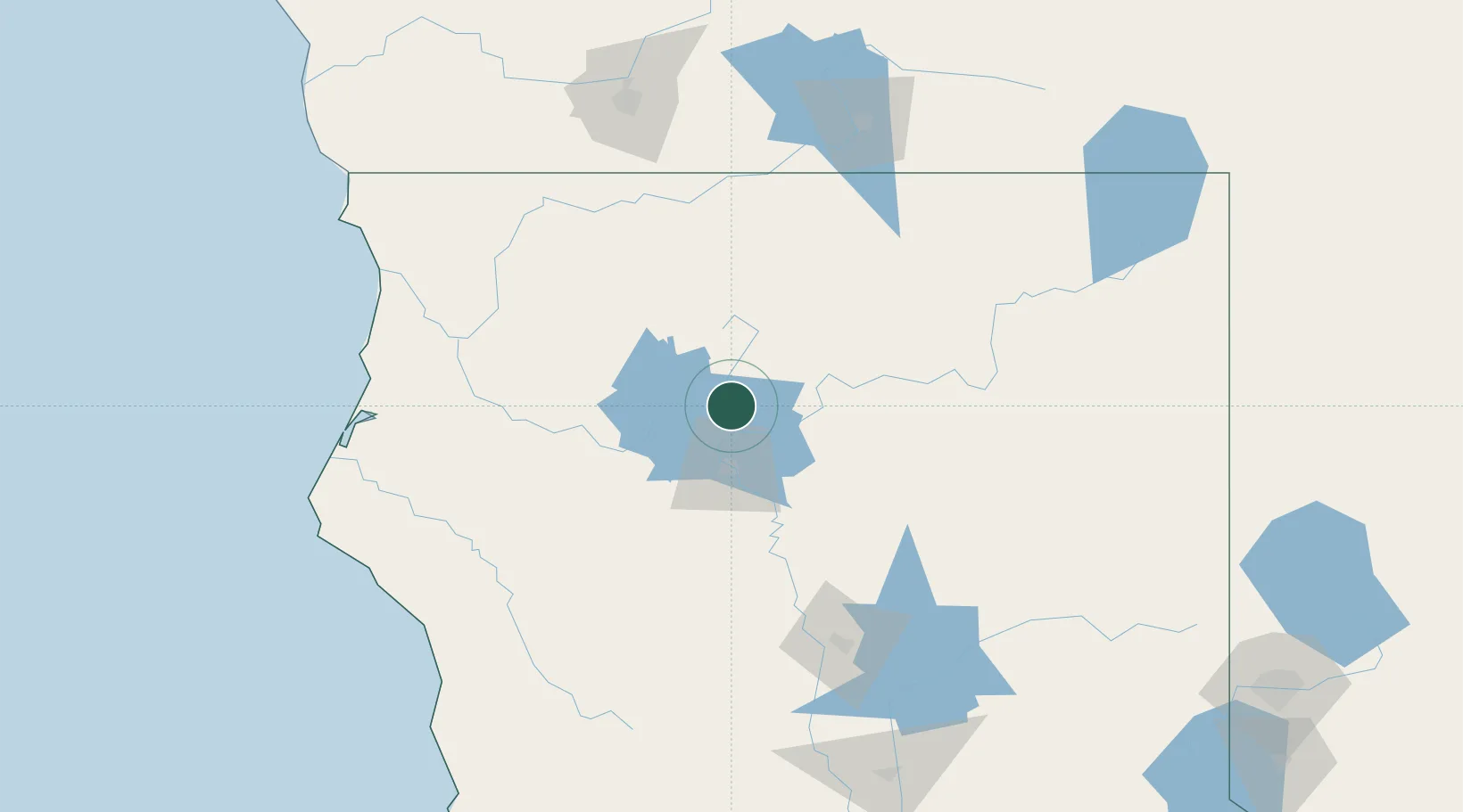
Location
Nearby Logistics Neighbours
Cities
- 1Weed61 km
- 2Viola72 km
- 3Proberta91 km
- 4McClellan Place98 km
- 5Butte Meadows115 km
Ports
- 1Samoa152 km
- 2Eureka152 km
- 3Fields Landing155 km
- 4Crescent City180 km
- 5Fort Bragg201 km
Airports
Trade Zones
- 1FTZ No. 248 Eureka150 km
- 2FTZ No. 126 Sparks264 km
- 3FTZ No. 143 West Sacramento266 km
- 4FTZ No. 132 Coos County315 km
- 5FTZ No. 231 Stockton339 km
DatabookThe Record of Consolidated Knowledge
United States beyond logistics?