UN/LOCODE hub · United States
USLKU

Lake Almanor

40.2500°, -121.1500°
2
Transport functions

Transport Functions

Road
Multimodal
UN/LOCODE

Hub Profile

Region
CA
GeoNames

Location

Location of USLKU
Natural Earth 10m (public domain) · CA · USLKU · 40.25, -121.15GoogleOSMYandex

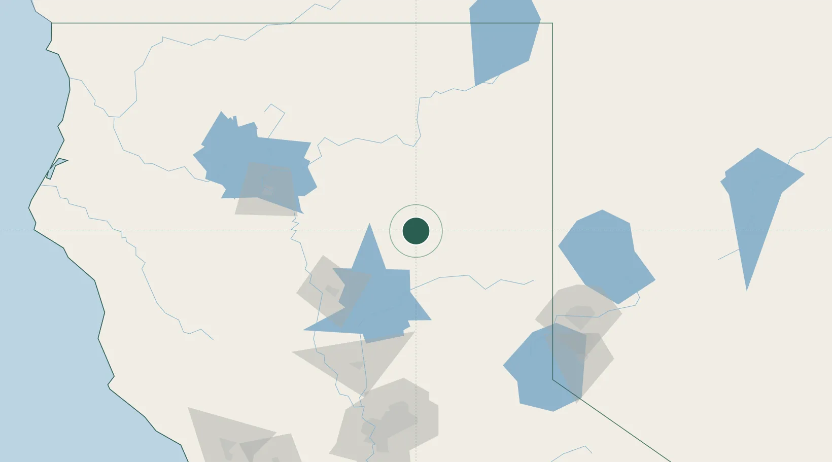
Nearby Logistics Neighbours

Cities
  1. 1Butte Meadows40 km
  2. 2Quincy42 km
  3. 3Viola54 km
  4. 4Forest Ranch61 km
  5. 5Saint Louis64 km
Nearest neighbours — logibook spatial index (haversine) over the source coordinates
Ports
  1. 1Sacramento188 km
  2. 2Courtland216 km
  3. 3Walnut Grove227 km
  4. 4Isleton235 km
  5. 5Rio Vista238 km
Nearest neighbours — logibook spatial index (haversine) over the source coordinates
Airports
  1. 1Red Bluff Municipal Airport94 km
  2. 2Redding Municipal Airport101 km
  3. 3Beale Air Force Base126 km
  4. 4Yuba County Airport133 km
  5. 5Truckee Tahoe Airport135 km
Nearest neighbours — logibook spatial index (haversine) over the source coordinates
Trade Zones
  1. 1FTZ No. 126 Sparks139 km
  2. 2FTZ No. 143 West Sacramento188 km
  3. 3FTZ No. 231 Stockton256 km
  4. 4FTZ No. 248 Eureka262 km
  5. 5FTZ No. 056 Oakland289 km
Nearest neighbours — logibook spatial index (haversine) over the source coordinates
DatabookThe Record of Consolidated Knowledge
United States beyond logistics?
Browse databook

All Sources

LocationsUN/LOCODE
UN/LOCODE — free
Portsthe NGA World Port Index
Public domain (US gov)
AirportsOurAirports
Public domain
Trade Zonesthe World Bank SEZ database
CC BY 4.0
Trade ZonesOpen Zone Map
CC BY
← United States locations