Medium airport · United States
Yuba County AirportKMYV
39.0978°, -121.5700°
6,007 ft
Longest runway
2
Runways
64 ft
Elevation
Runway & Layout

Radio Frequencies
ASOS
118.475 MHz
A/D
125.4 MHz
NORCAL APP/DEP
RDO
122.6 MHz
RANCHO RDO
UNIC
123.05 MHz
CTAF/UNICOM
Navaids
MY NDB Halow 222 kHz
MYV VOR-DME Marysville 110.80 MHz
Runways · 2
| Runway | Dimensions | Surface | True heading | Lit |
|---|---|---|---|---|
| 14/32 | 6,007 × 150ft | Asphalt | 157° | ✓ |
| 05/23 | 3,314 × 60ft | Asphalt | 067° | — |
Airport Specifications
IATA code
MYV
ICAO code
KMYV
Airport class
Medium airport
Scheduled service
No
Runway surface
Asphalt
Served city
Marysville
Location
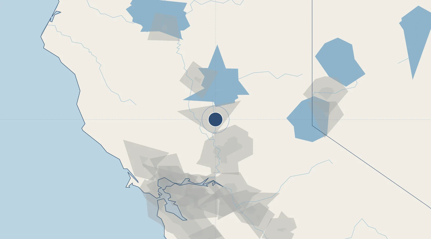
Nearby Logistics Neighbours
Airports
Cities
- 1Olivehurst2 km
- 2Sunset18 km
- 3Beale Air Force Base18 km
- 4Live Oak21 km
- 5Grimes27 km
Ports
- 1Sacramento58 km
- 2Courtland85 km
- 3Walnut Grove96 km
- 4Isleton104 km
- 5Rio Vista106 km
Trade Zones
- 1FTZ No. 143 West Sacramento58 km
- 2FTZ No. 231 Stockton129 km
- 3FTZ No. 056 Oakland156 km
- 4FTZ No. 003 San Francisco161 km
- 5FTZ No. 126 Sparks162 km
DatabookThe Record of Consolidated Knowledge
United States beyond logistics?