Transport Functions
Road
Multimodal
Hub Profile
Place type
Populated place
Region
Idaho
Time zone
America/Los_Angeles
Elevation
802 m
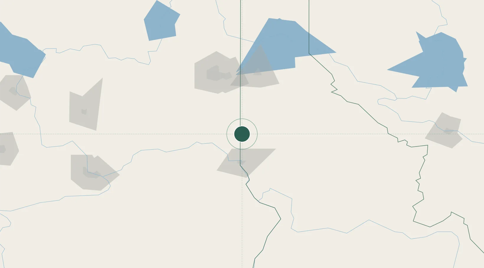
Location
Nearby Logistics Neighbours
Ports
- 1The Dalles349 km
- 2Seattle410 km
- 3Tacoma412 km
- 4Everett412 km
- 5Mukilteo417 km
Airports
Trade Zones
- 1FTZ No. 224 Spokane100 km
- 2FTZ No. 203 Moses Lake179 km
- 3FTZ No. 242 Boundary County214 km
- 4FTZ No. 274 Butte-Silver Bow331 km
- 5FTZ No. 275 Lansing355 km
DatabookThe Record of Consolidated Knowledge
United States beyond logistics?