Transport Functions
Road
Multimodal
Hub Profile
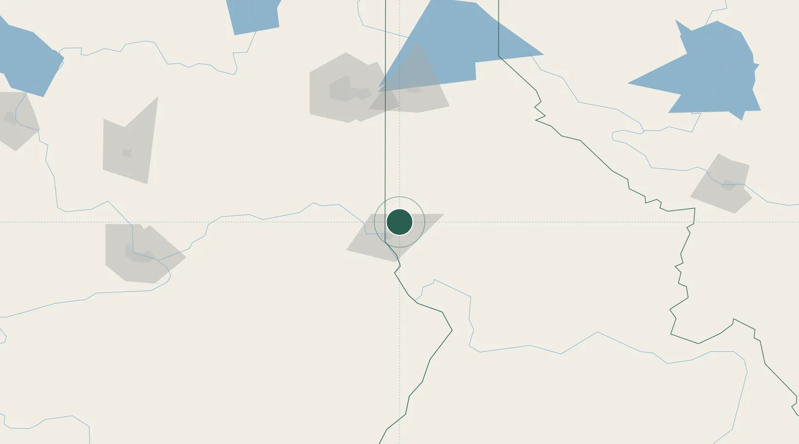
Place type
Populated place
Region
Idaho
Population
955
Time zone
America/Los_Angeles
Elevation
817 m
Location
Nearby Logistics Neighbours
Ports
- 1The Dalles346 km
- 2Tacoma426 km
- 3Seattle426 km
- 4Everett431 km
- 5Washougal433 km
Airports
- 1Lewiston Nez Perce County Airport21 km
- 2Pullman-Moscow Regional Airport26 km
- 3Walla Walla Regional Airport117 km
- 4Spokane International Airport128 km
- 5Felts Field130 km
Trade Zones
- 1FTZ No. 224 Spokane132 km
- 2FTZ No. 203 Moses Lake195 km
- 3FTZ No. 242 Boundary County245 km
- 4FTZ No. 274 Butte-Silver Bow316 km
- 5FTZ No. 280 Ada and Canyon Counties340 km
DatabookThe Record of Consolidated Knowledge
United States beyond logistics?