Transport Functions
Port
Road
Multimodal
Hub Profile
Place type
Provincial seat
Region
Washington
Population
1,282
Time zone
America/Los_Angeles
Elevation
244 m
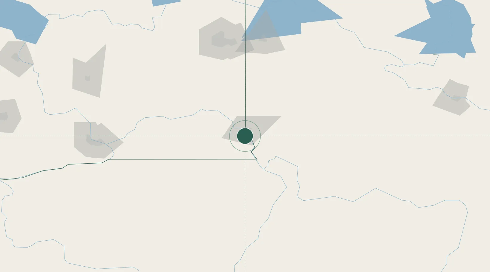
Location
Nearby Logistics Neighbours
Ports
- 1The Dalles330 km
- 2Washougal418 km
- 3Tacoma422 km
- 4Camas422 km
- 5Seattle425 km
Airports
Trade Zones
- 1FTZ No. 224 Spokane153 km
- 2FTZ No. 203 Moses Lake196 km
- 3FTZ No. 242 Boundary County269 km
- 4FTZ No. 280 Ada and Canyon Counties316 km
- 5FTZ No. 274 Butte-Silver Bow322 km
DatabookThe Record of Consolidated Knowledge
United States beyond logistics?