Transport Functions
Port
Rail
Road
Multimodal
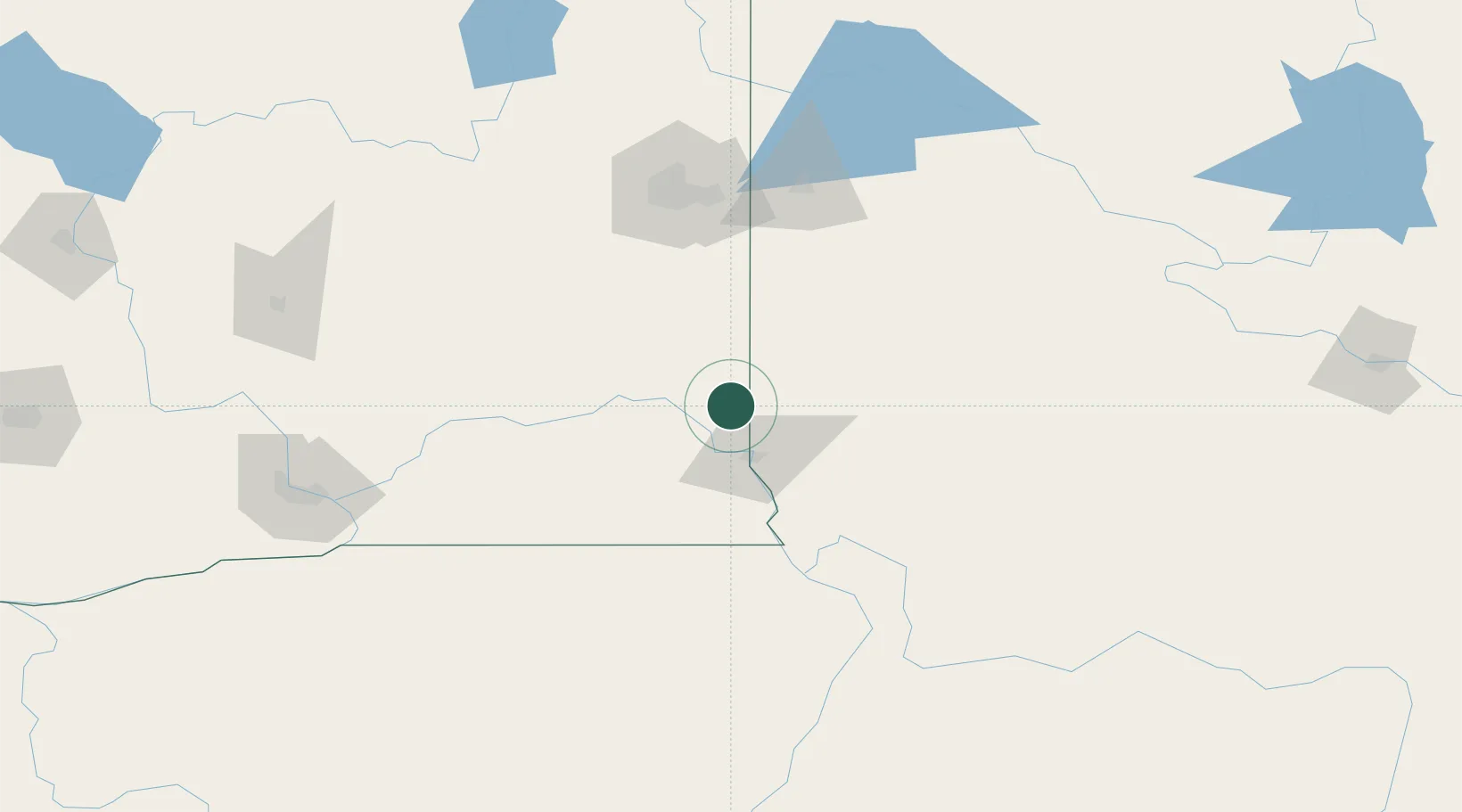
Hub Profile
Place type
Populated place
Region
Florida
Time zone
America/New_York
Elevation
18 m
Location
Nearby Logistics Neighbours
Ports
- 1The Dalles334 km
- 2Tacoma407 km
- 3Seattle407 km
- 4Everett411 km
- 5Mukilteo415 km
Airports
Trade Zones
- 1FTZ No. 224 Spokane115 km
- 2FTZ No. 203 Moses Lake175 km
- 3FTZ No. 242 Boundary County233 km
- 4FTZ No. 274 Butte-Silver Bow335 km
- 5FTZ No. 280 Ada and Canyon Counties353 km
DatabookThe Record of Consolidated Knowledge
United States beyond logistics?