UN/LOCODE hub · United States
USDH3
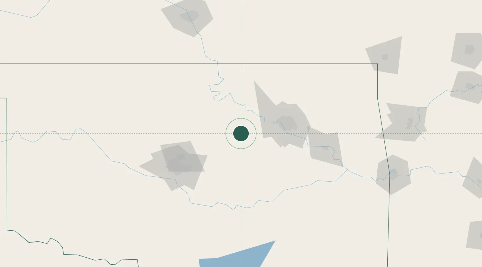
Drumright
35.9833°, -96.6000°
2,880
Population
1
Transport functions
Transport Functions
Multimodal
Hub Profile
Place type
Populated place
Region
Oklahoma
Population
2,880
Time zone
America/Chicago
Elevation
259 m
Location
Nearby Logistics Neighbours
Ports
- 1Port Of Memphis591 km
- 2Beaumont697 km
- 3Deer Park703 km
- 4Houston704 km
- 5Orange708 km
Airports
Trade Zones
- 1FTZ No. 053 Rogers County78 km
- 2FTZ No. 106 Oklahoma City101 km
- 3FTZ No. 164 Muskogee108 km
- 4FTZ No. 161 Sedgwick County216 km
- 5FTZ No. 227 Durant221 km
DatabookThe Record of Consolidated Knowledge
United States beyond logistics?