Transport Functions
Rail
Road
Multimodal
Hub Profile
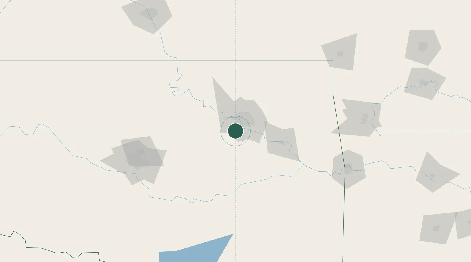
Place type
Populated place
Region
Oklahoma
Population
1,920
Time zone
America/Chicago
Elevation
213 m
Location
Nearby Logistics Neighbours
Ports
- 1Port Of Memphis543 km
- 2Beaumont678 km
- 3Orange688 km
- 4Lake Charles689 km
- 5Port Neches690 km
Airports
Trade Zones
- 1FTZ No. 053 Rogers County47 km
- 2FTZ No. 164 Muskogee62 km
- 3FTZ No. 106 Oklahoma City142 km
- 4FTZ No. 227 Durant218 km
- 5FTZ No. 161 Sedgwick County246 km
DatabookThe Record of Consolidated Knowledge
United States beyond logistics?