Transport Functions
Rail
Road
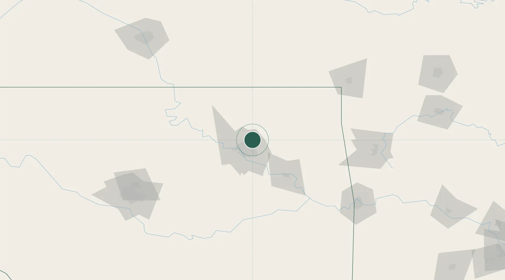
Hub Profile
Place type
Populated place
Region
Oklahoma
Population
34,542
Time zone
America/Chicago
Elevation
186 m
Location
Nearby Logistics Neighbours
Cities
- 1Collinsville11 km
- 2Claremore23 km
- 3Oologah24 km
- 4Jenks30 km
- 5Sapulpa39 km
Ports
- 1Port Of Memphis530 km
- 2Beaumont707 km
- 3Lake Charles715 km
- 4Orange715 km
- 5Port Neches719 km
Airports
Trade Zones
- 1FTZ No. 053 Rogers County8 km
- 2FTZ No. 164 Muskogee70 km
- 3FTZ No. 106 Oklahoma City175 km
- 4FTZ No. 161 Sedgwick County232 km
- 5FTZ No. 227 Durant256 km
DatabookThe Record of Consolidated Knowledge
United States beyond logistics?