UN/LOCODE hub · United States
USAPU
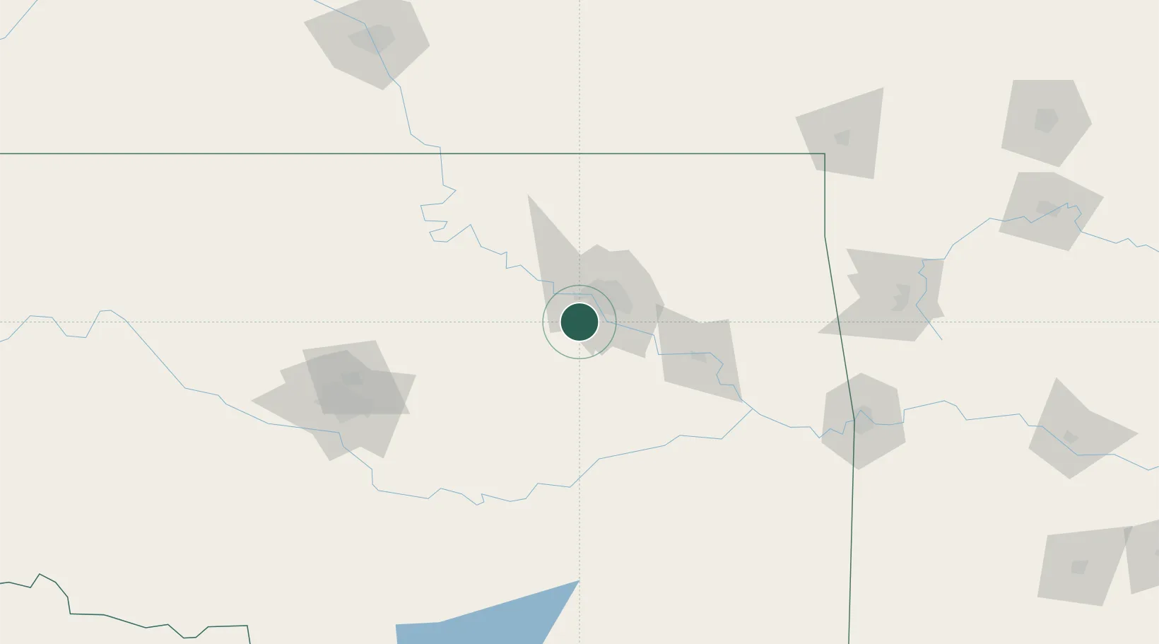
Sapulpa
35.9833°, -96.1000°
20,579
Population
2
Transport functions
Transport Functions
Rail
Road
Hub Profile
Place type
Provincial seat
Region
Oklahoma
Population
20,579
Time zone
America/Chicago
Elevation
218 m
Location
Nearby Logistics Neighbours
Ports
- 1Port Of Memphis546 km
- 2Beaumont682 km
- 3Orange692 km
- 4Lake Charles694 km
- 5Port Neches695 km
Airports
Trade Zones
- 1FTZ No. 053 Rogers County45 km
- 2FTZ No. 164 Muskogee66 km
- 3FTZ No. 106 Oklahoma City141 km
- 4FTZ No. 227 Durant222 km
- 5FTZ No. 161 Sedgwick County241 km
DatabookThe Record of Consolidated Knowledge
United States beyond logistics?