UN/LOCODE hub · United States
USVJI
Abingdon
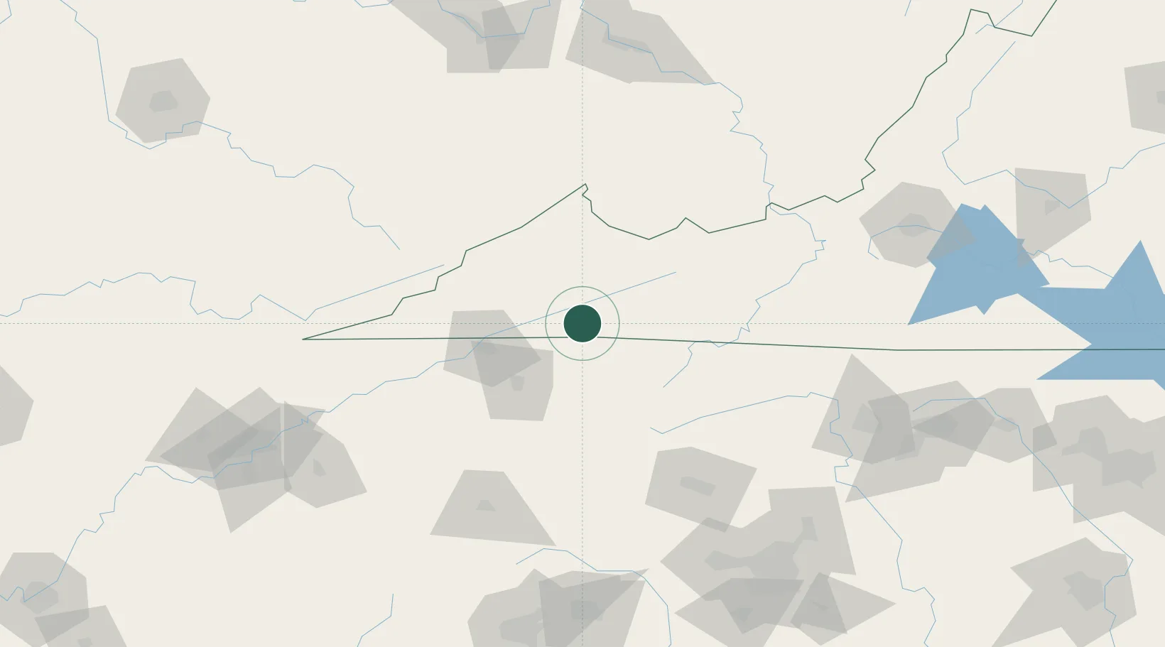
36.7000°, -81.9833°
8,119
Population
2
Transport functions
Transport Functions
Rail
Road
Hub Profile
Place type
Provincial seat
Region
Virginia
Population
8,119
Time zone
America/New_York
Elevation
629 m
Location
Nearby Logistics Neighbours
Cities
- 1Cedar Bluff14 km
- 2Damascus19 km
- 3Bristol21 km
- 4Bristol22 km
- 5Blountville36 km
Ports
- 1Richmond415 km
- 2Fredericksburg438 km
- 3Georgetown445 km
- 4Wilmington457 km
- 5Washington461 km
Airports
Trade Zones
- 1FTZ No. 204 Tri-Cities45 km
- 2FTZ No. 238 Dublin122 km
- 3FTZ No. 230 Piedmont Triad Area174 km
- 4FTZ No. 057 Mecklenburg County180 km
- 5FTZ No. 229 Charleston184 km
DatabookThe Record of Consolidated Knowledge
United States beyond logistics?