Medium airport · United States
Tri-Cities Regional TN/VA AirportKTRI
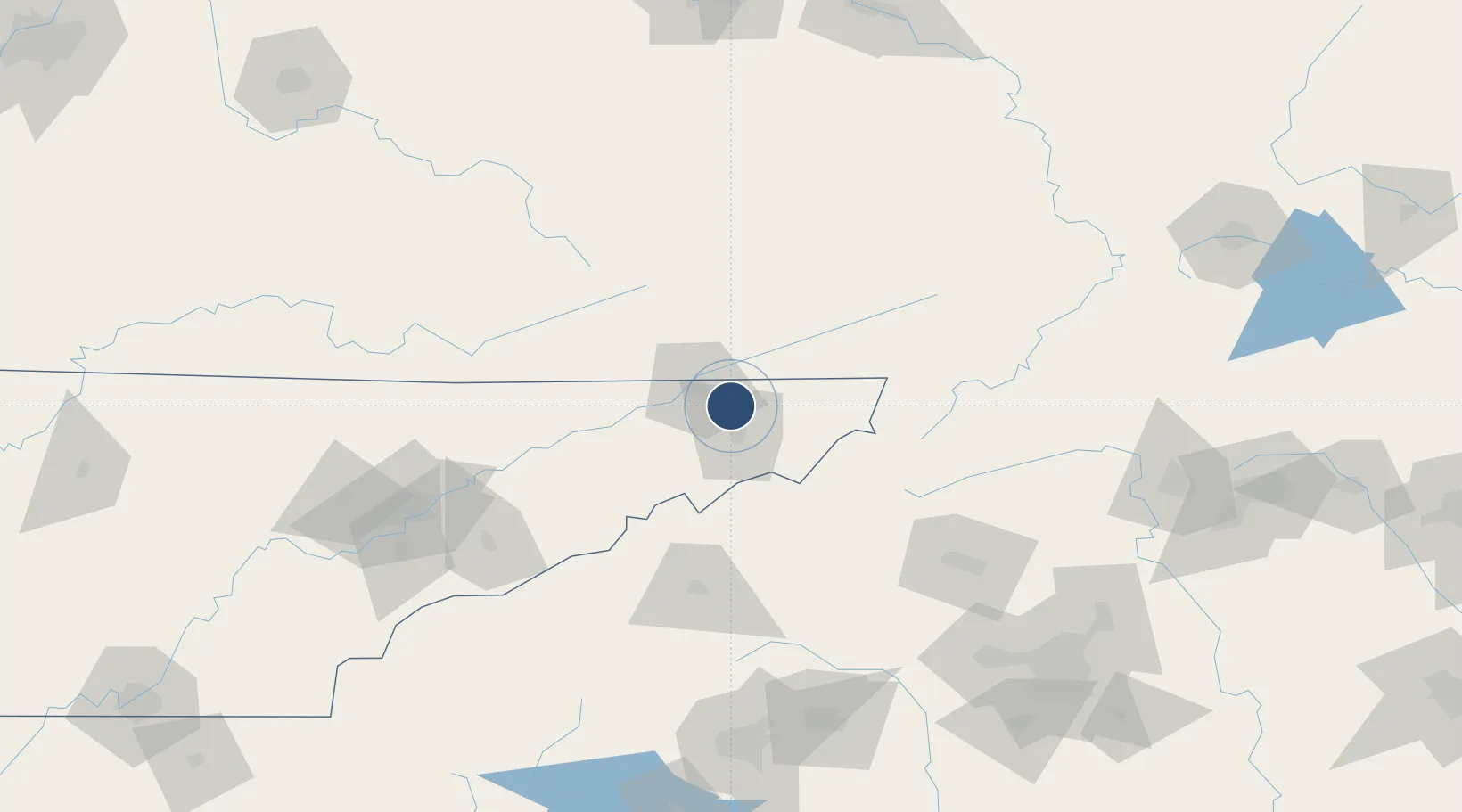
36.4752°, -82.4074°
8,000 ft
Longest runway
2
Runways
1,519 ft
Elevation
Runway & Layout

Radio Frequencies
ATIS
118.25 MHz
TWR
119.5 MHz
GND
121.7 MHz
APP
119.25 MHz
DEP
125.5 MHz
CTAF
119.5 MHz
RDO
122.2 MHz
NASHVILLE RDO
UNIC
122.95 MHz
UNICOM
Navaids
BO NDB Booie 221 kHz
TR NDB Mocca 299 kHz
Runways · 2
| Runway | Dimensions | Surface | True heading | Lit |
|---|---|---|---|---|
| 05/23 | 8,000 × 150ft | Asphalt | 043° | ✓ |
| 09/27 | 4,443 × 150ft | Asphalt | 089° | ✓ |
Airport Specifications
IATA code
TRI
ICAO code
KTRI
Airport class
Medium airport
Scheduled service
Yes
Runway surface
Asphalt
Served city
Blountville
Location
Nearby Logistics Neighbours
Airports
- 1Asheville Regional Airport116 km
- 2Hickory Regional Airport123 km
- 3Mercer County Airport140 km
- 4Julian Carroll Airport148 km
- 5McGhee Tyson Airport161 km
Cities
- 1Gray8 km
- 2Blountville9 km
- 3Piney Flats12 km
- 4Bluff City13 km
- 5Kingsport13 km
Ports
- 1Georgetown448 km
- 2Charleston470 km
- 3Beaufort477 km
- 4Port Royal483 km
- 5Southport490 km
Trade Zones
- 1FTZ No. 204 Tri-Cities1 km
- 2FTZ No. 238 Dublin167 km
- 3FTZ No. 148 Knoxville172 km
- 4FTZ No. 038 Spartanburg County177 km
- 5FTZ No. 057 Mecklenburg County180 km
DatabookThe Record of Consolidated Knowledge
United States beyond logistics?