Transport Functions
Rail
Road
Multimodal
Hub Profile
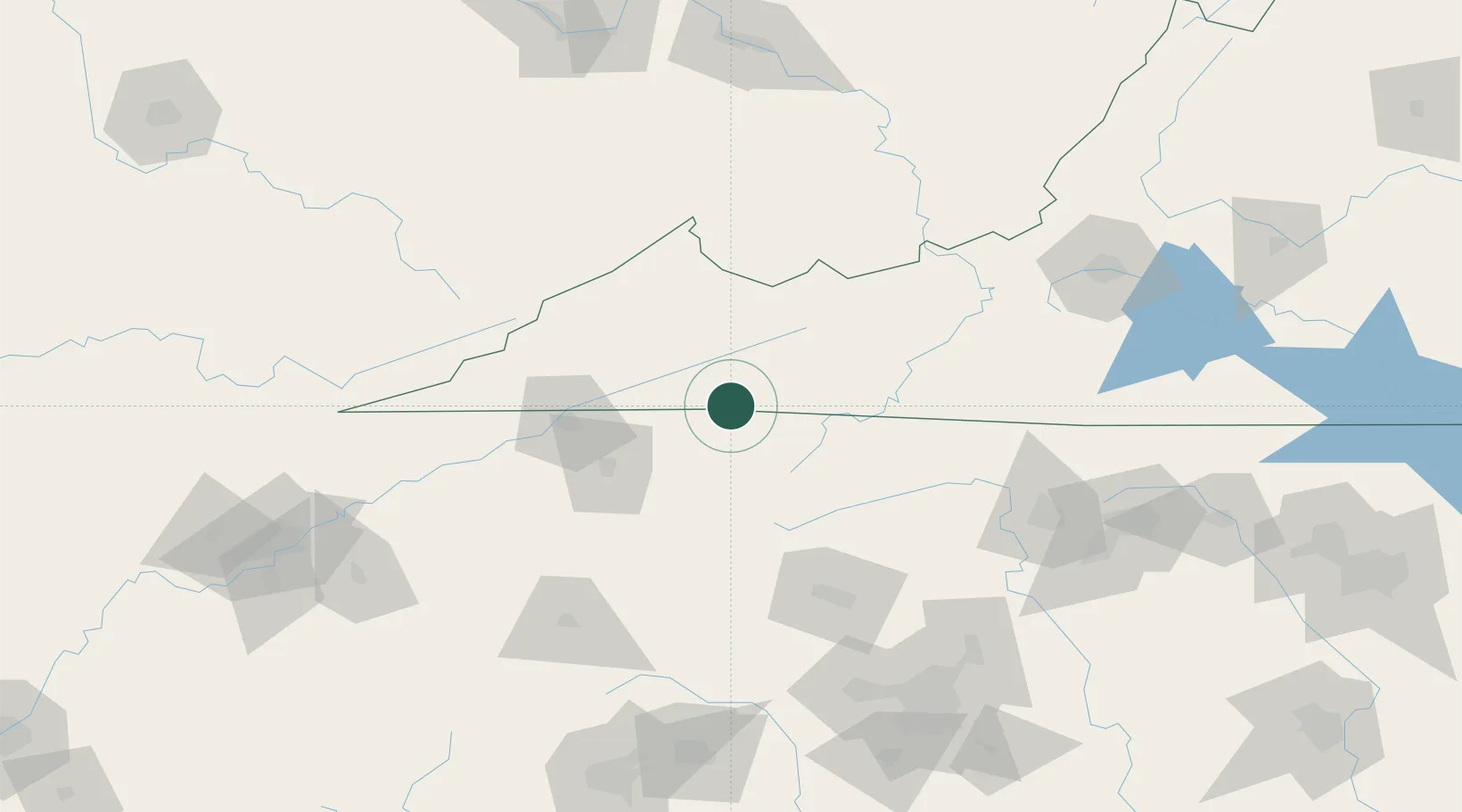
Place type
Populated place
Region
Virginia
Population
800
Time zone
America/New_York
Elevation
595 m
Location
Nearby Logistics Neighbours
Cities
- 1Cedar Bluff6 km
- 2Abingdon19 km
- 3Ennice31 km
- 4Bristol36 km
- 5Bristol36 km
Ports
- 1Richmond400 km
- 2Fredericksburg425 km
- 3Georgetown429 km
- 4Wilmington438 km
- 5Washington442 km
Airports
Trade Zones
- 1FTZ No. 204 Tri-Cities58 km
- 2FTZ No. 238 Dublin109 km
- 3FTZ No. 230 Piedmont Triad Area154 km
- 4FTZ No. 057 Mecklenburg County165 km
- 5FTZ No. 229 Charleston190 km
DatabookThe Record of Consolidated Knowledge
United States beyond logistics?