UN/LOCODE hub · United States
USBFS
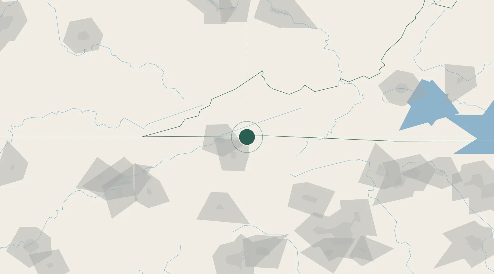
Bristol
36.6000°, -82.1833°
17,141
Population
3
Transport functions
Transport Functions
Rail
Road
Airport
Hub Profile
Place type
Provincial seat
Region
Virginia
Population
17,141
Time zone
America/New_York
Elevation
512 m
Location
Nearby Logistics Neighbours
Cities
- 1Bristol2 km
- 2Blountville15 km
- 3Bluff City17 km
- 4Abingdon21 km
- 5Piney Flats23 km
Ports
- 1Georgetown446 km
- 2Charleston472 km
- 3Southport482 km
- 4Beaufort484 km
- 5Port Royal490 km
Airports
- 1Tri-Cities Regional TN/VA Airport24 km
- 2Mercer County Airport116 km
- 3Hickory Regional Airport119 km
- 4Asheville Regional Airport133 km
- 5Julian Carroll Airport149 km
Trade Zones
- 1FTZ No. 204 Tri-Cities24 km
- 2FTZ No. 238 Dublin143 km
- 3FTZ No. 057 Mecklenburg County179 km
- 4FTZ No. 230 Piedmont Triad Area188 km
- 5FTZ No. 038 Spartanburg County191 km
DatabookThe Record of Consolidated Knowledge
United States beyond logistics?