Medium airport · United States

Asheville Regional AirportKAVL
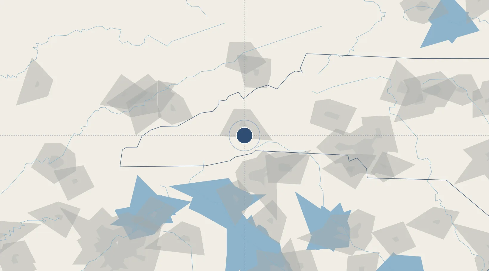
35.4355°, -82.5419°
8,002 ft
Longest runway
1
Runways
2,165 ft
Elevation

Runway & Layout

Asheville Regional Airport runway & taxiway layout
Runway & taxiway layout — OpenStreetMap (ODbL) / OurAirports

Radio Frequencies

ATIS
120.2 MHz
TWR
121.1 MHz
GND
121.9 MHz
CTAF
121.1 MHz
A/D
124.65 MHz
APP/DEP
UNIC
122.95 MHz
UNICOM
OurAirports

Navaids

BRA NDB Broad River 379 kHz
IM NDB Keans 357 kHz
SUG VORTAC Sugarloaf Mt 112.20 MHz
OurAirports

Runways · 1

RunwayDimensions SurfaceTrue headingLit
17/35 8,002 × 150ft Asphalt 160°
OurAirports

Airport Specifications

IATA code
AVL
OurAirports
ICAO code
KAVL
OurAirports
Airport class
Medium airport
OurAirports
Scheduled service
Yes
OurAirports
Runway surface
Asphalt
OurAirports
Served city
Asheville
OurAirports

Location

Location of KAVL
Natural Earth 10m (public domain) · North Carolina · KAVL · 35.44, -82.54GoogleOSMYandex

Nearby Logistics Neighbours

Airports
  1. 1Greenville-Spartanburg International Airport67 km
  2. 2Greenville Downtown Airport68 km
  3. 3Anderson Regional Airport106 km
  4. 4Hickory Regional Airport110 km
  5. 5Tri-Cities Regional TN/VA Airport116 km
Nearest neighbours — logibook spatial index (haversine) over the source coordinates
Cities
  1. 1Naples7 km
  2. 2Etowah14 km
  3. 3Edneyville17 km
  4. 4Candler18 km
  5. 5Asheville18 km
Nearest neighbours — logibook spatial index (haversine) over the source coordinates
Ports
  1. 1Beaufort376 km
  2. 2Georgetown377 km
  3. 3Charleston381 km
  4. 4Port Royal382 km
  5. 5Savannah396 km
Nearest neighbours — logibook spatial index (haversine) over the source coordinates
Trade Zones
  1. 1FTZ No. 038 Spartanburg County67 km
  2. 2FTZ No. 204 Tri-Cities117 km
  3. 3FTZ No. 057 Mecklenburg County134 km
  4. 4FTZ No. 148 Knoxville164 km
  5. 5FTZ No. 127 West Columbia206 km
Nearest neighbours — logibook spatial index (haversine) over the source coordinates
DatabookThe Record of Consolidated Knowledge
United States beyond logistics?
Browse databook

All Sources

AirportsOurAirports
Public domain
Portsthe NGA World Port Index
Public domain (US gov)
LocationsUN/LOCODE
UN/LOCODE — free
Trade Zonesthe World Bank SEZ database
CC BY 4.0
Trade ZonesOpen Zone Map
CC BY
InfrastructureOpenStreetMap
ODbL 1.0
← United States airports