UN/LOCODE hub · United States
USBSO
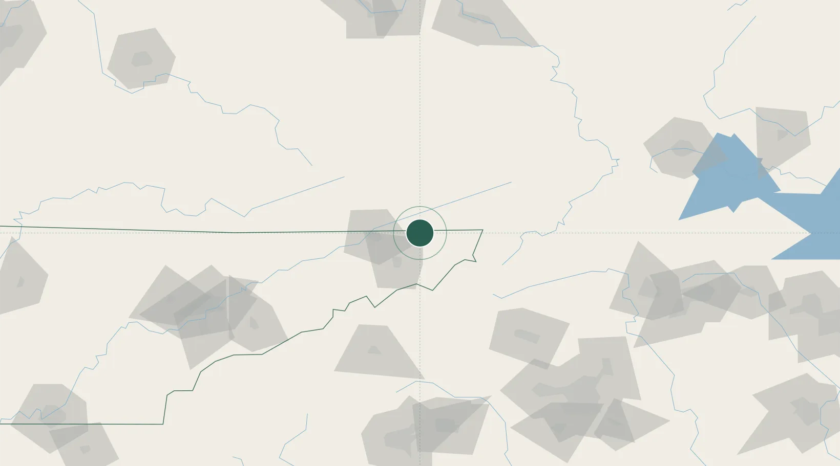
Bristol
36.5833°, -82.1833°
26,666
Population
3
Transport functions
Transport Functions
Rail
Road
Airport
Hub Profile
Place type
Populated place
Region
Tennessee
Population
26,666
Time zone
America/New_York
Elevation
511 m
Location
Nearby Logistics Neighbours
Cities
- 1Bristol2 km
- 2Blountville14 km
- 3Bluff City15 km
- 4Piney Flats21 km
- 5Abingdon22 km
Ports
- 1Georgetown445 km
- 2Charleston471 km
- 3Southport481 km
- 4Beaufort482 km
- 5Port Royal489 km
Airports
- 1Tri-Cities Regional TN/VA Airport23 km
- 2Mercer County Airport117 km
- 3Hickory Regional Airport118 km
- 4Asheville Regional Airport132 km
- 5Julian Carroll Airport151 km
Trade Zones
- 1FTZ No. 204 Tri-Cities23 km
- 2FTZ No. 238 Dublin144 km
- 3FTZ No. 057 Mecklenburg County178 km
- 4FTZ No. 230 Piedmont Triad Area187 km
- 5FTZ No. 038 Spartanburg County189 km
DatabookThe Record of Consolidated Knowledge
United States beyond logistics?