Transport Functions
Rail
Road
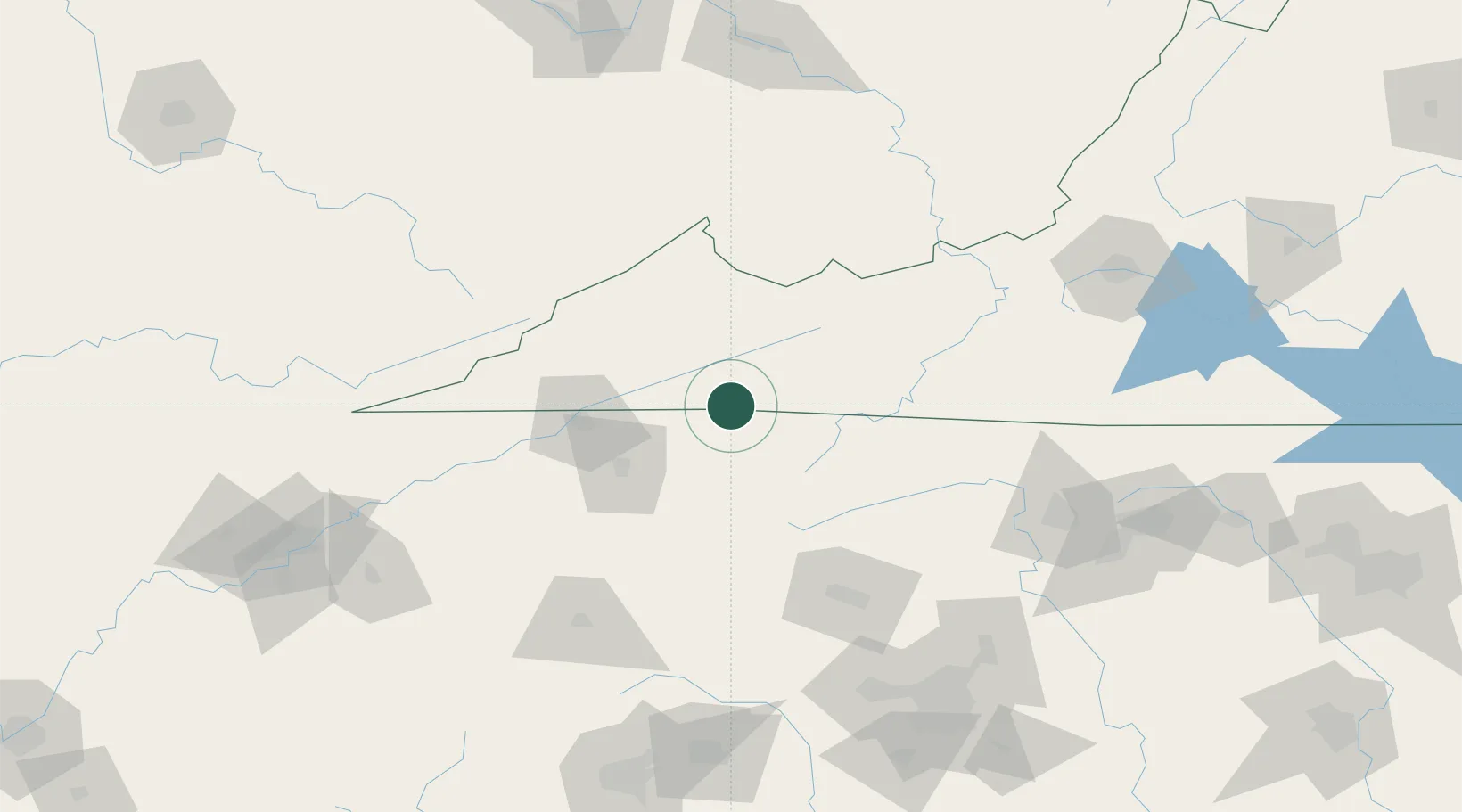
Hub Profile
Place type
Populated place
Region
Virginia
Time zone
America/New_York
Elevation
565 m
Location
Nearby Logistics Neighbours
Ports
- 1Richmond406 km
- 2Fredericksburg430 km
- 3Georgetown432 km
- 4Wilmington443 km
- 5Washington448 km
Airports
Trade Zones
- 1FTZ No. 204 Tri-Cities53 km
- 2FTZ No. 238 Dublin115 km
- 3FTZ No. 230 Piedmont Triad Area160 km
- 4FTZ No. 057 Mecklenburg County168 km
- 5FTZ No. 229 Charleston191 km
DatabookThe Record of Consolidated Knowledge
United States beyond logistics?