UN/LOCODE hub · United States
USOUI
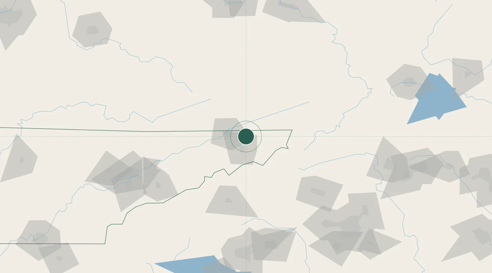
Blountville
36.5167°, -82.3167°
3,074
Population
2
Transport functions
Transport Functions
Road
Multimodal
Hub Profile
Place type
Provincial seat
Region
Tennessee
Population
3,074
Time zone
America/New_York
Elevation
469 m
Location
Nearby Logistics Neighbours
Cities
- 1Bluff City7 km
- 2Piney Flats11 km
- 3Bristol14 km
- 4Bristol15 km
- 5Gray18 km
Ports
- 1Georgetown446 km
- 2Charleston470 km
- 3Beaufort479 km
- 4Port Royal485 km
- 5Southport486 km
Airports
- 1Tri-Cities Regional TN/VA Airport9 km
- 2Hickory Regional Airport120 km
- 3Asheville Regional Airport122 km
- 4Mercer County Airport131 km
- 5Julian Carroll Airport149 km
Trade Zones
- 1FTZ No. 204 Tri-Cities9 km
- 2FTZ No. 238 Dublin158 km
- 3FTZ No. 057 Mecklenburg County179 km
- 4FTZ No. 148 Knoxville181 km
- 5FTZ No. 038 Spartanburg County181 km
DatabookThe Record of Consolidated Knowledge
United States beyond logistics?