Transport Functions
Port
Rail
Road
Hub Profile
Place type
Populated place
Region
Minnesota
Population
522
Time zone
America/Chicago
Elevation
381 m
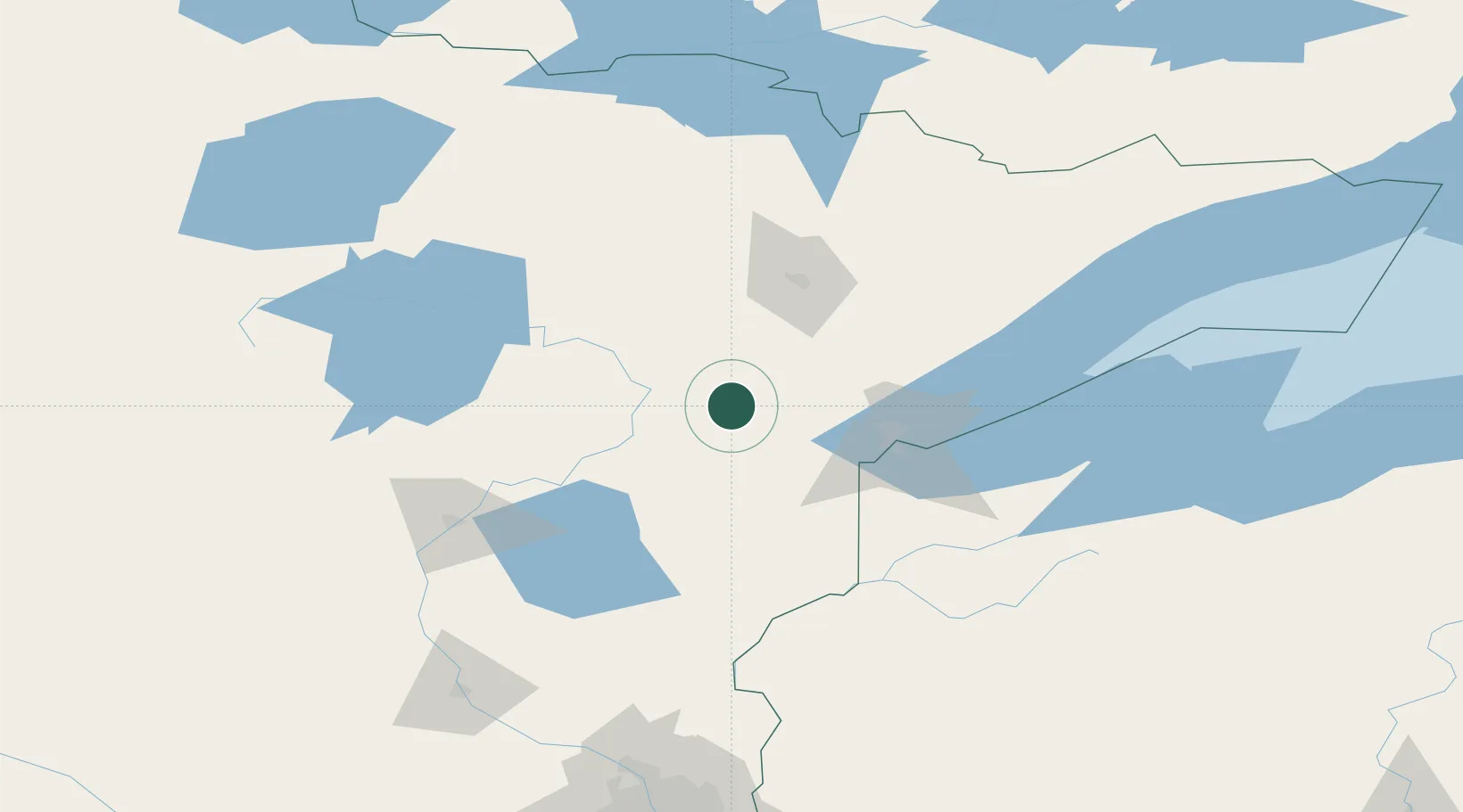
Location
Nearby Logistics Neighbours
Ports
- 1Duluth64 km
- 2Superior67 km
- 3Two Harbors95 km
- 4Washburn156 km
- 5Bayfield159 km
Airports
- 1Range Regional Airport50 km
- 2Duluth International Airport54 km
- 3Brainerd Lakes Regional Airport111 km
- 4Ely Municipal Airport128 km
- 5Sawyer County Airport150 km
Trade Zones
- 1FTZ No. 051 Duluth53 km
- 2FTZ No. 259 Koochiching County183 km
- 3FTZ No. 119 Minneapolis-St. Paul220 km
- 4FTZ No. 267 Fargo309 km
- 5FTZ No. 103 Grand Forks339 km
DatabookThe Record of Consolidated Knowledge
United States beyond logistics?