Medium airport · Canada
Fort Frances Municipal AirportCYAG
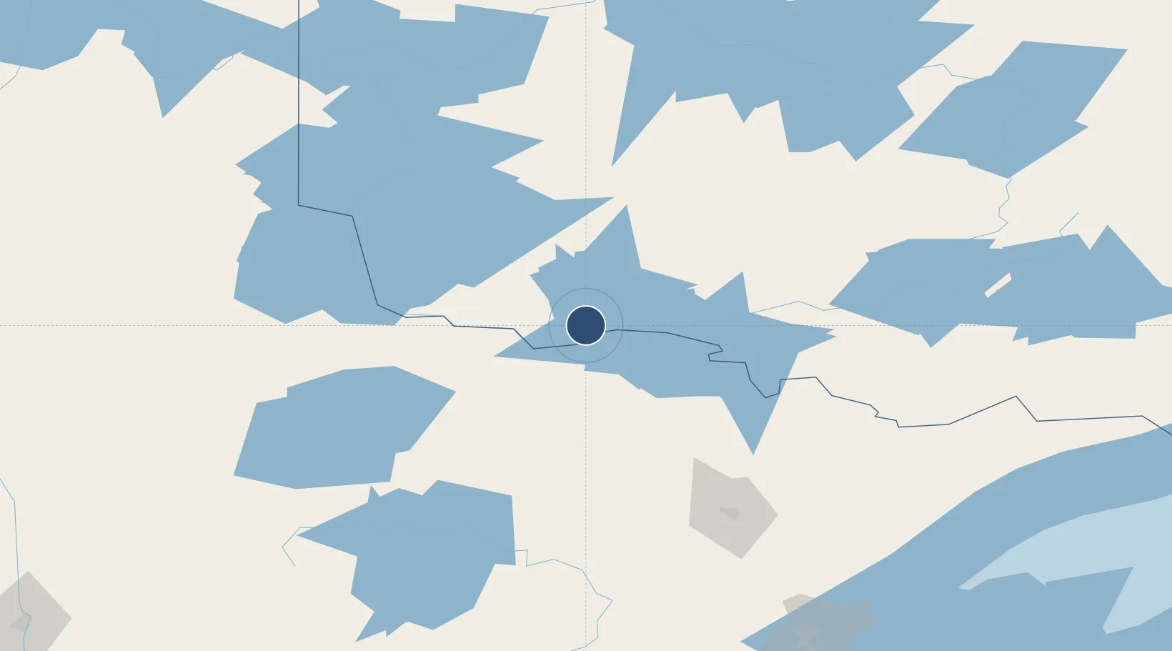
48.6557°, -93.4435°
4,500 ft
Longest runway
2
Runways
1,125 ft
Elevation
Runway & Layout

Radio Frequencies
AWOS
120 MHz
CNTR
120.9 MHz
MINNEAPOLIS CNTR
UNIC
122.8 MHz
ATF/UNICOM
Navaids
YAG NDB Fort Frances 376 kHz
Runways · 2
| Runway | Dimensions | Surface | True heading | Lit |
|---|---|---|---|---|
| 12/30 | 4,500 × 100ft | Asphalt | 126° | ✓ |
| 03/21 | 2,600 × 75ft | Asphalt | 035° | ✓ |
Airport Specifications
IATA code
YAG
ICAO code
CYAG
Airport class
Medium airport
Scheduled service
Yes
Runway surface
Asphalt
Served city
Fort Frances
Location
Nearby Logistics Neighbours
Airports
- 1Falls International Airport10 km
- 2Baudette International Airport86 km
- 3Atikokan Municipal Airport133 km
- 4Dryden Regional Airport140 km
- 5Kenora Airport143 km
Cities
- 1Fort Frances7 km
- 2Emo29 km
- 3Cook106 km
- 4Williams111 km
- 5Blackduck133 km
Ports
- 1Two Harbors226 km
- 2Duluth233 km
- 3Superior237 km
- 4Grand Marais252 km
- 5Bayfield285 km
Trade Zones
- 1FTZ No. 259 Koochiching County77 km
- 2FTZ No. 051 Duluth228 km
- 3FTZ No. 103 Grand Forks288 km
- 4Winnipegs Centreport Canada301 km
- 5FTZ No. 267 Fargo331 km
DatabookThe Record of Consolidated Knowledge
Canada beyond logistics?