UN/LOCODE hub · United States
USVEM
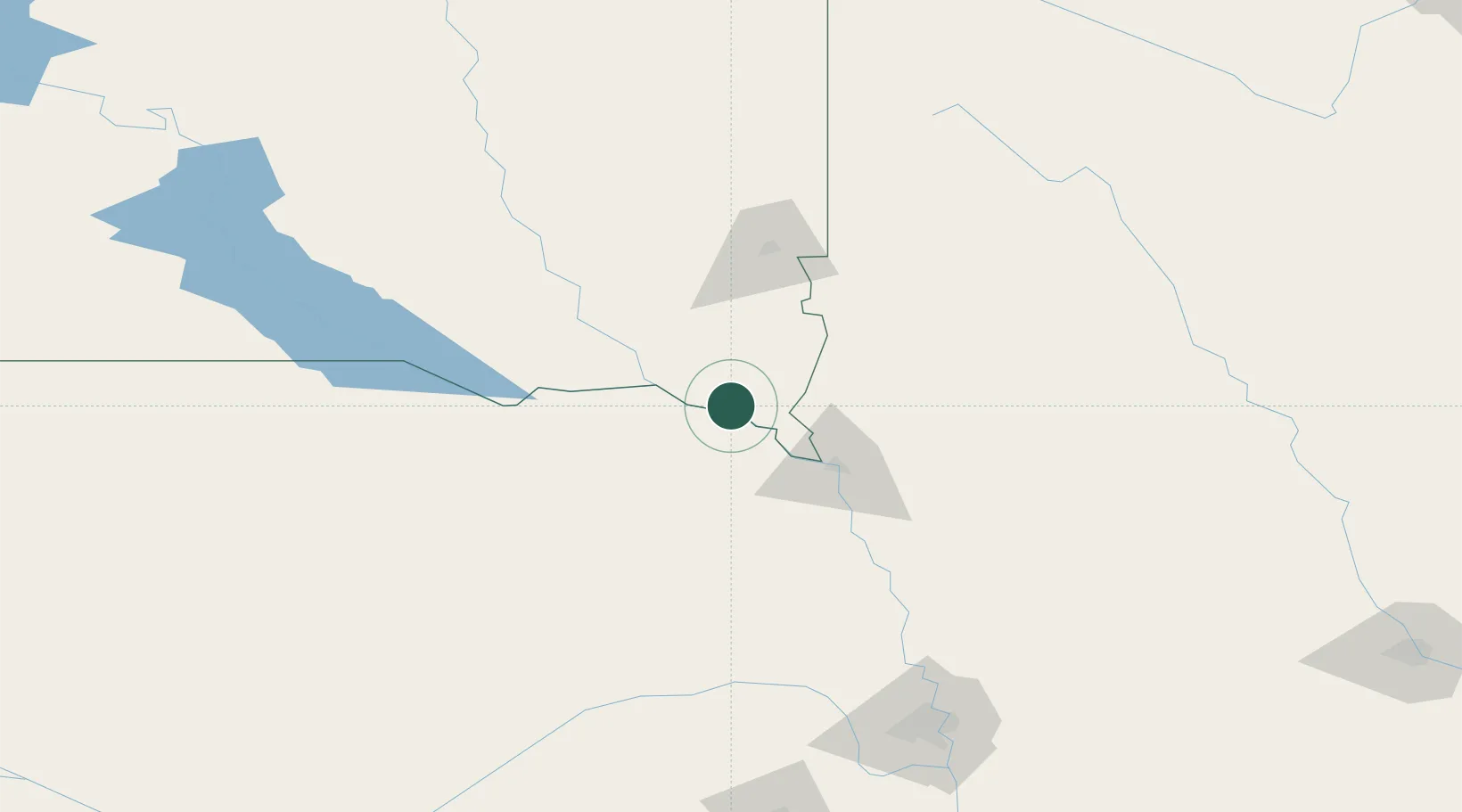
Vermillion
42.7833°, -96.9167°
10,738
Population
3
Transport functions
Transport Functions
Rail
Road
Multimodal
Hub Profile
Place type
Provincial seat
Region
South Dakota
Population
10,738
Time zone
America/Chicago
Elevation
374 m
Location
Nearby Logistics Neighbours
Cities
- 1Gayville, Yankton23 km
- 2Beresford34 km
- 3North Sioux City47 km
- 4Tabor62 km
- 5Sergeant Bluff63 km
Ports
- 1Superior583 km
- 2Duluth584 km
- 3Two Harbors627 km
- 4Ashland639 km
- 5Washburn643 km
Airports
Trade Zones
- 1FTZ No. 288 Northwest Iowa80 km
- 2FTZ No. 220 Sioux Falls86 km
- 3FTZ No. 059 Lincoln221 km
- 4FTZ No. 107 Polk County291 km
- 5FTZ No. 133 Quad-Cities, Iowa Illinois297 km
DatabookThe Record of Consolidated Knowledge
United States beyond logistics?