UN/LOCODE hub · United States
USQKF
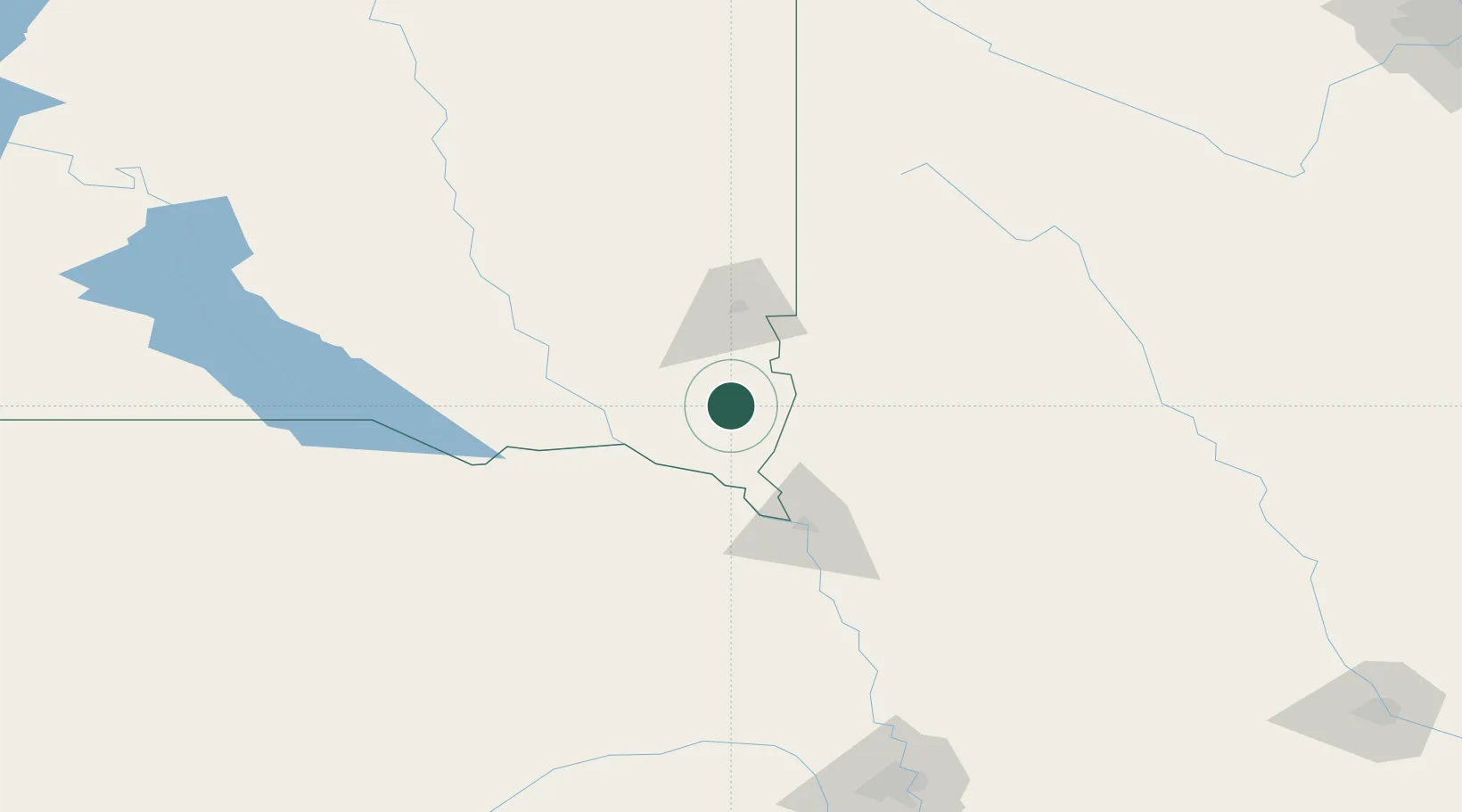
Beresford
43.0667°, -96.7667°
1,976
Population
2
Transport functions
Transport Functions
Rail
Road
Hub Profile
Place type
Populated place
Region
South Dakota
Population
1,976
Time zone
America/Chicago
Elevation
457 m
Location
Nearby Logistics Neighbours
Cities
- 1Vermillion34 km
- 2Gayville, Yankton38 km
- 3Inwood39 km
- 4Harrisburg40 km
- 5Rock Valley41 km
Ports
- 1Superior551 km
- 2Duluth551 km
- 3Two Harbors595 km
- 4Ashland609 km
- 5Washburn612 km
Airports
Trade Zones
- 1FTZ No. 220 Sioux Falls54 km
- 2FTZ No. 288 Northwest Iowa57 km
- 3FTZ No. 059 Lincoln252 km
- 4FTZ No. 107 Polk County295 km
- 5FTZ No. 133 Quad-Cities, Iowa Illinois327 km
DatabookThe Record of Consolidated Knowledge
United States beyond logistics?