UN/LOCODE hub · United States
USNSC
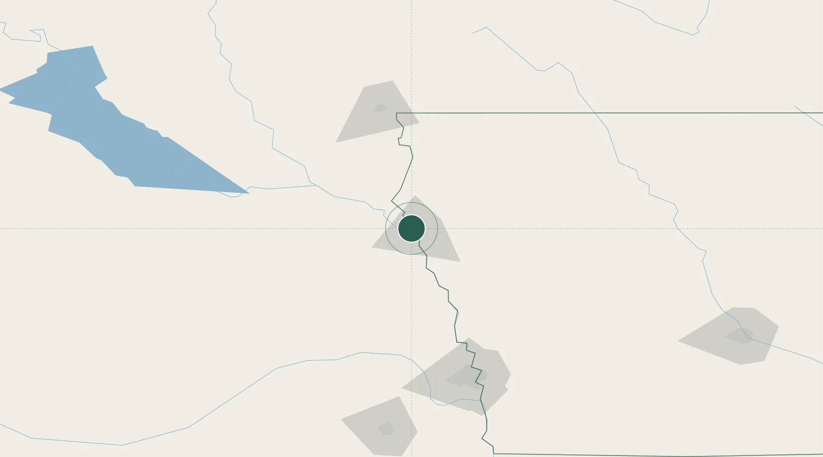
North Sioux City
42.5167°, -96.4667°
2,731
Population
4
Transport functions
Transport Functions
Port
Rail
Road
Multimodal
Hub Profile
Place type
Populated place
Region
South Dakota
Population
2,731
Time zone
America/Chicago
Elevation
337 m
Location
Nearby Logistics Neighbours
Cities
- 1Sergeant Bluff16 km
- 2Vermillion47 km
- 3Onawa64 km
- 4Lyons65 km
- 5Beresford66 km
Ports
- 1Superior584 km
- 2Duluth585 km
- 3Two Harbors628 km
- 4Ashland635 km
- 5Washburn639 km
Airports
Trade Zones
- 1FTZ No. 288 Northwest Iowa79 km
- 2FTZ No. 220 Sioux Falls118 km
- 3FTZ No. 059 Lincoln193 km
- 4FTZ No. 107 Polk County246 km
- 5FTZ No. 133 Quad-Cities, Iowa Illinois264 km
DatabookThe Record of Consolidated Knowledge
United States beyond logistics?