Transport Functions
Rail
Road
Hub Profile
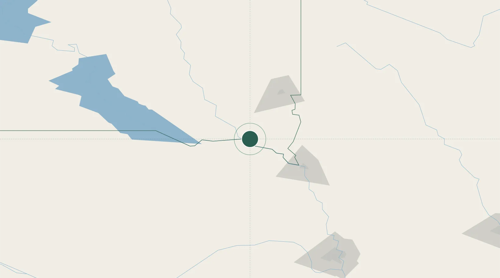
Region
SD
Location
Nearby Logistics Neighbours
Cities
- 1Vermillion23 km
- 2Beresford38 km
- 3Tabor40 km
- 4Scotland53 km
- 5North Sioux City70 km
Ports
- 1Superior587 km
- 2Duluth588 km
- 3Two Harbors632 km
- 4Ashland647 km
- 5Washburn650 km
Airports
Trade Zones
- 1FTZ No. 220 Sioux Falls80 km
- 2FTZ No. 288 Northwest Iowa94 km
- 3FTZ No. 059 Lincoln233 km
- 4FTZ No. 133 Quad-Cities, Iowa Illinois312 km
- 5FTZ No. 107 Polk County315 km
DatabookThe Record of Consolidated Knowledge
United States beyond logistics?