Transport Functions
Port
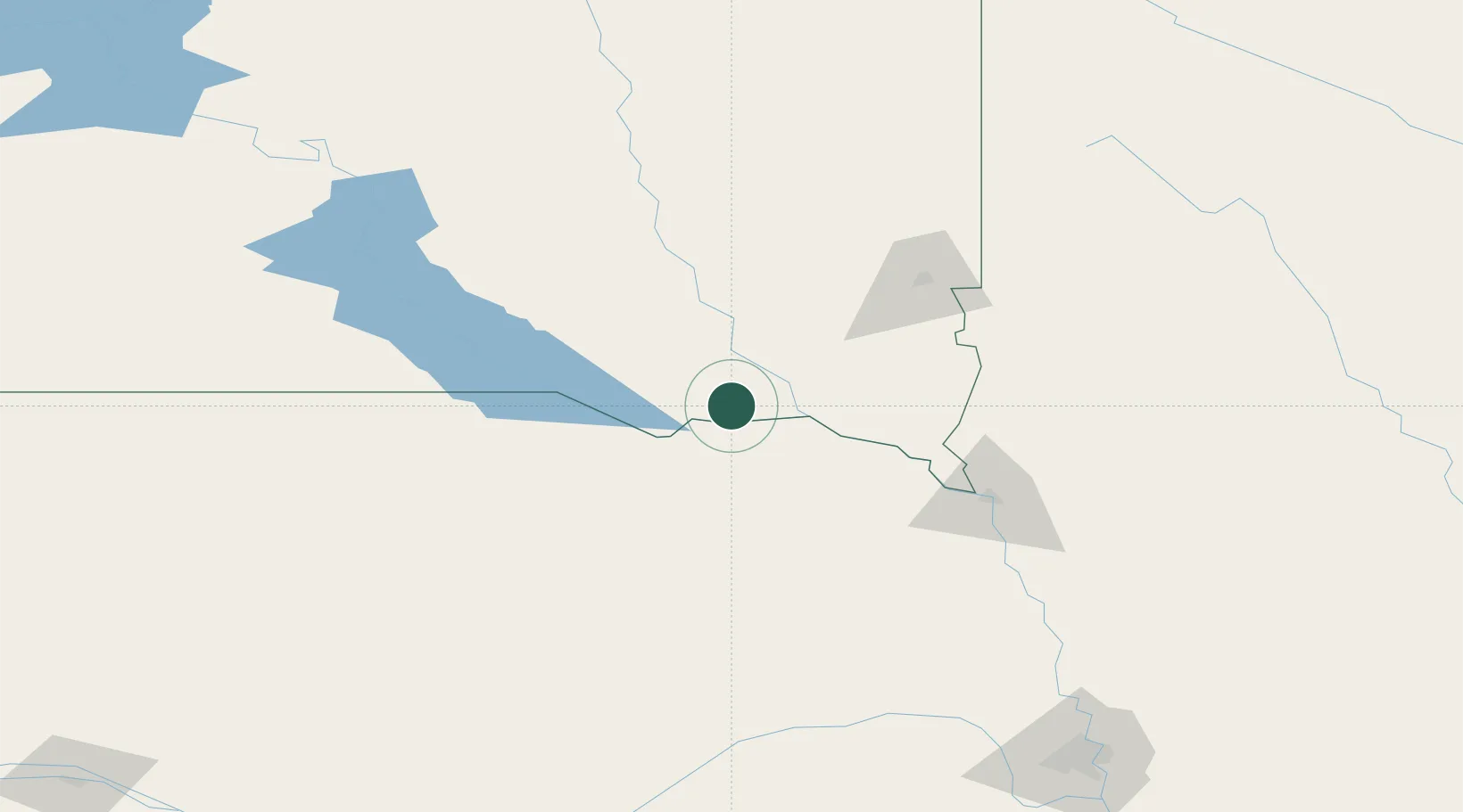
Hub Profile
Place type
Populated place
Region
South Dakota
Population
412
Time zone
America/Chicago
Elevation
411 m
Location
Nearby Logistics Neighbours
Cities
- 1Scotland23 km
- 2Niobrara36 km
- 3Gayville, Yankton40 km
- 4Parkston59 km
- 5Vermillion62 km
Ports
- 1Superior610 km
- 2Duluth611 km
- 3Two Harbors655 km
- 4Ashland673 km
- 5Washburn676 km
Airports
Trade Zones
- 1FTZ No. 220 Sioux Falls98 km
- 2FTZ No. 288 Northwest Iowa131 km
- 3FTZ No. 059 Lincoln247 km
- 4FTZ No. 133 Quad-Cities, Iowa Illinois329 km
- 5FTZ No. 107 Polk County353 km
DatabookThe Record of Consolidated Knowledge
United States beyond logistics?