UN/LOCODE hub · United States
USSGB
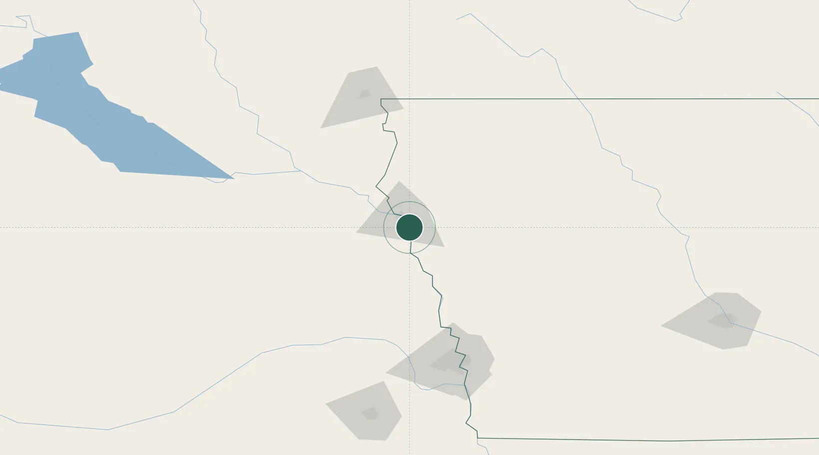
Sergeant Bluff
42.4000°, -96.3500°
4,520
Population
3
Transport functions
Transport Functions
Rail
Road
Multimodal
Hub Profile
Place type
Populated place
Region
Iowa
Population
4,520
Time zone
America/Chicago
Elevation
334 m
Location
Nearby Logistics Neighbours
Cities
- 1North Sioux City16 km
- 2Onawa48 km
- 3Lyons53 km
- 4Vermillion63 km
- 5Schleswig80 km
Ports
- 1Superior589 km
- 2Duluth591 km
- 3Two Harbors633 km
- 4Ashland638 km
- 5Washburn642 km
Airports
Trade Zones
- 1FTZ No. 288 Northwest Iowa88 km
- 2FTZ No. 220 Sioux Falls133 km
- 3FTZ No. 059 Lincoln182 km
- 4FTZ No. 107 Polk County232 km
- 5FTZ No. 133 Quad-Cities, Iowa Illinois250 km
DatabookThe Record of Consolidated Knowledge
United States beyond logistics?