UN/LOCODE hub · United States
USVBS
Bluefield
37.2500°, -81.2833°
5,279
Population
2
Transport functions
Transport Functions
Rail
Road
Hub Profile
Place type
Populated place
Region
Virginia
Population
5,279
Time zone
America/New_York
Elevation
722 m
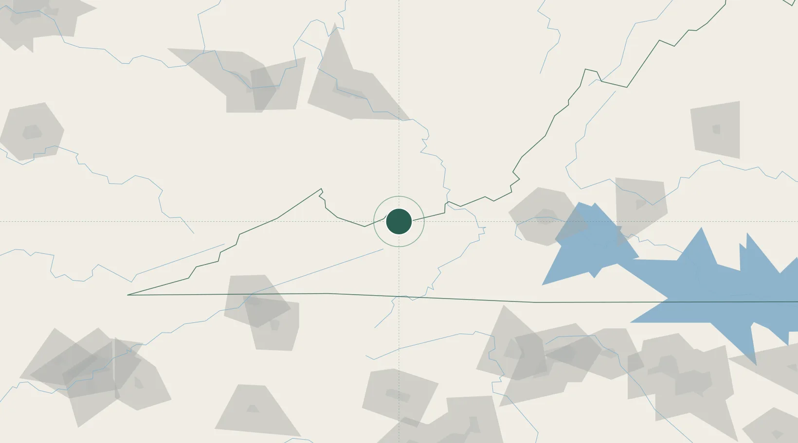
Location
Nearby Logistics Neighbours
Cities
- 1Bluefield4 km
- 2Tazewell25 km
- 3Mullens38 km
- 4Narrows44 km
- 5Rich Creek44 km
Ports
- 1Richmond343 km
- 2Fredericksburg357 km
- 3West Point397 km
- 4Alexandria410 km
- 5Washington D.C.413 km
Airports
- 1Mercer County Airport8 km
- 2Raleigh County Memorial Airport61 km
- 3Greenbrier Valley Airport103 km
- 4Roanoke–Blacksburg Regional Airport116 km
- 5Yeager Airport128 km
Trade Zones
- 1FTZ No. 238 Dublin54 km
- 2FTZ No. 229 Charleston127 km
- 3FTZ No. 204 Tri-Cities132 km
- 4FTZ No. 230 Piedmont Triad Area155 km
- 5FTZ No. 057 Mecklenburg County222 km
DatabookThe Record of Consolidated Knowledge
United States beyond logistics?